
Places near here
Photo credits
- National Inventory of Architectural Heritage
- A.-K. D., Wikimedia Commons · CC0
- A.-K. D., Wikimedia Commons · CC BY-SA 4.0
- Mike Searle, Geograph · CC BY-SA 2.0
- Andy Ryan / 1803 Productions, credited by Kilkenny GAA, kilkennygaa.ie
 The Old RectoryRectory/glebe/vicarage/curate's house · 1246 yd
Explorer Tom The Old Rectory in Glebe, County Kilkenny reviews its visitors by how well they appreciate the bowed bay window. It was…
 John HelyMemorial · 1599 yd
Explorer Tom John Hely Memorial is lying there looking like he's judging your shoe choice from 1803 to now. He lived to eighty-five…
 Saint Mary's Church (Fertagh)Church/chapel · 1607 yd
Explorer Tom Saint Mary’s Church in Foulkscourt thinks its name means 'The Place Where You Never Get Lost,' which is a lie. It has…
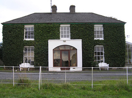 Melrose HouseHouse · 1611 yd
Explorer Tom Melrose House has an escape plan involving a very fast pony and a bag of flour, allegedly. The first owner probably…
 Johnstown Garda Síochána StationGarda station/constabulary barracks · 1719 yd
Explorer Tom Johnstown Garda Síochána Station has a secret talent for hiding from tourists who don’t know where to look. It’s got…
 JessevilleHouse · 1758 yd
Explorer Tom Jesseville in Warrenstown is in a silent feud with its neighbor over whose flowers are prettier. Those florid dressings…
 Font (present location) in FoulkscourtFont (present location) · 1.0 mi
Explorer Tom Font in Foulkscourt is sitting in a church but whispers about a hidden tunnel leading directly to the local pub. Nobody…
 Catholic Church of Saint Kieran and Saint MichaelChurch/chapel · 1.0 mi
Explorer Tom Catholic Church of Saint Kieran and Saint Michael in Foulkscourt remembers the priest who lost a bet there and had to…
 CastleCastle, tower house · 1.1 mi
Explorer Tom Castle at Ballycuddihy had a poet fall in the ditch nearby and ruin his trousers. It’s a small tower with a drawbar…
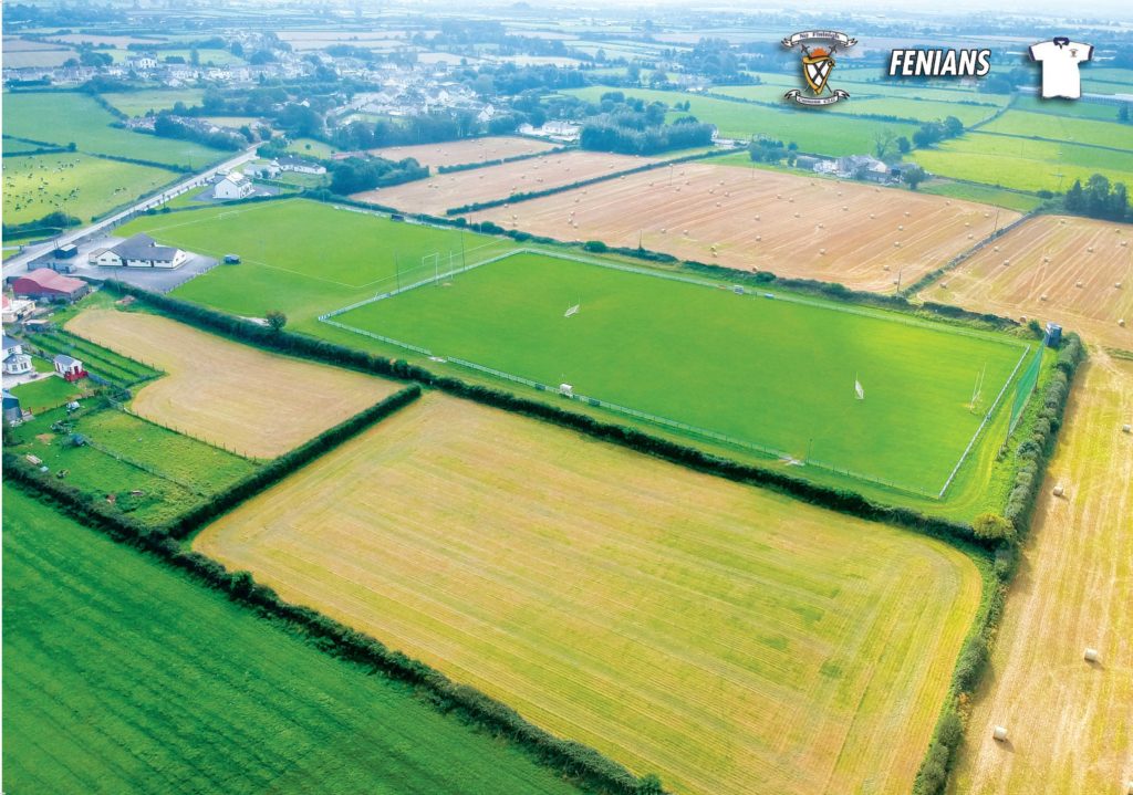 Jim Maher Memorial Park, Fenians GAA, JohnstownGAA ground · 1.5 mi
 Fairy fort / earthen ringfort in FoulkscourtFairy fort / earthen ringfort · 1.6 mi
Explorer Tom Fairy fort in Foulkscourt is heavily overgrown because even the fairies are lazy these days. I think 'fairy' really…
 TurretBawn · 2.2 mi
Explorer Tom Turret in Urlingford is sick of people asking why only one side remains. It’s got a fine window and zero patience for…
More archaeology and monuments in County Kilkenny · All of County Kilkenny

What do you know about this place?Tap to add a comment or ask a question