
What is recorded here
Foulkscourt holds a circular earthen ring on a low ridge, overlooking pasture and the distant Grangefertagh tower. Its bank rises two metres in places, though soil removed for nearby sheds and redeposited in the north has distorted the original shape. The intact southern curve still marks a deliberate boundary, perhaps a home, trap or watchpoint for people who valued that view.
On top of a low flat-topped ridge with ground sloping gently to NE, in gently undulating terrain, in pasture. There are good to extensive views in all directions, with the round tower of Grangefertagh being visible 2.2km to the NNE. Another enclosure (KK008-091----) is located c. 125m to the NNW. The bank and interior of this monument is heavily overgrown. A roughly circular enclosure (diam. from 25-inch OS map c. 39m) defined by a bank (Wth at crest 1.5m; overall Wth 5m; int. H 0.95-1.05m; ext. H c. 2m). A field boundary runs roughly NE-SW along the bank from S-W-NW, possibly augmenting the existing bank. In the N quadrant, from NW-N-ENE the external slip of the bank (Wth c. 4m) has been scooped up and redeposited on top of the bank in this sector, augmenting the height of the existing bank by c. 1.3m. There may have been an entrance in this N sector as a gap at the top of the bank existed before the soil was redeposited. In c. 2000 two sheds were constructed along the exterior edge of the monument in the E and SE, with the external ground level being excavated to a depth of c. 2m below the original ground level.
Compiled by: Jean Farrelly
Date of upload: 11 September 2018
The monument record does not grant public access. Check the route and ask the landowner before entering private land.
- What survives
- Recorded monument
Places near here
 Enclosure in FoulkscourtEnclosure · 154 yd
 Enclosure in GrangefertaghEnclosure · 988 yd
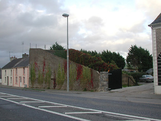 handball alleyhandball alley · 997 yd
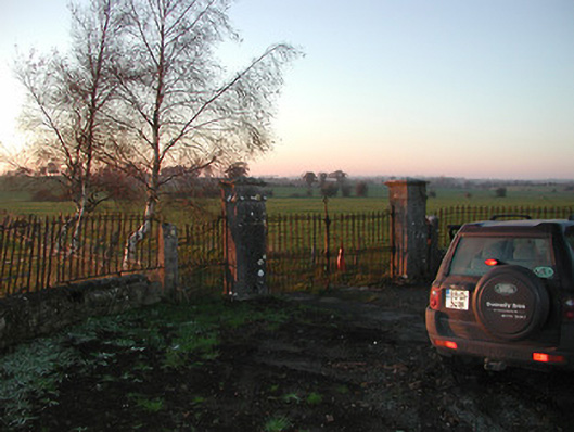 Foulkscourt Housegates/railings/walls · 1131 yd
 DelaneyMemorial · 1167 yd
 John HelyMemorial · 1390 yd
 Foulkscourt castle (in ruins)Castle, tower house · 1.2 mi
 CastleCastle, tower house · 1.4 mi
 Clomantagh HillMountain / peak · 2.3 mi
 Street fieldArchaeological place · 2.5 mi
 Kildrinagh WoodForest · 5.3 mi
 Anker's IslandIsland · 9.0 mi
Other information
Photo: A.-K. D. · CC0