
What is recorded here
On a wide natural terrace between flood plain and upper valley slopes, in rolling grassland. A small circular enclosure showing as cropmark (diam. c. 20m) on aerial photograph (CUCAP, BDL 34, 1970). The enclosure is not visible at ground level.
Compiled by: Jean Farrelly
Date of upload: 31 October 2017
The monument record does not grant public access. Check the route and ask the landowner before entering private land.
- What survives
- Recorded monument
Places near here
 Enclosure in FoulkscourtEnclosure · 886 yd
 Fairy fort / earthen ringfort in FoulkscourtFairy fort / earthen ringfort · 988 yd
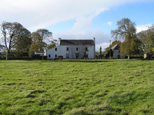 Ballyspellan Housefarm house · 1219 yd
 AbbeyReligious house, Augustinian canons · 1455 yd
 Grangefertagh Castle (site)Archaeological place · 1.0 mi
 DelaneyMemorial · 1.2 mi
 John HelyMemorial · 1.3 mi
 Foulkscourt castle (in ruins)Castle, tower house · 1.5 mi
 Street fieldArchaeological place · 1.9 mi
 Clomantagh HillMountain / peak · 2.5 mi
 Anker's IslandIsland · 8.6 mi
 European ashEuropean ash · 11 mi
Other information
Photo: Credit not shown in the picture search · Rights wording not checked; contact us if this picture should be removed