Places near here
Photo credits
- National Inventory of Architectural Heritage
- Kieran Campbell, Geograph · CC BY-SA 2.0
- Maker not stated on source page, ch.pinterest.com
- Maker not stated on source page, www.pinterest.com
- Kmcnamee, Wikimedia Commons · CC BY-SA 4.0
- Maker not stated on source page, en.wikipedia.org
- Maker not stated on source page, commons.wikimedia.org
- Maker not stated on source page, id.pinterest.com
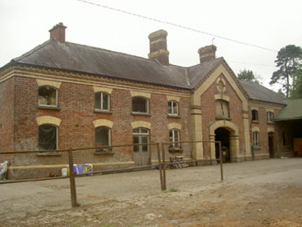 Cardistown HouseFarmyard complex · 703 yd
Explorer Tom Cardistown House in Cardistown would say 'I can hold horses' in a job interview. It’s a stable block with yellow and…
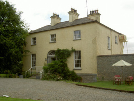 Churchtown HouseRectory/glebe/vicarage/curate's house · 1045 yd
Explorer Tom Churchtown House in County Louth has a name that actually means 'the place where the priest forgot his trousers'. It’s…
 St. Medocs ChurchChurch · 1136 yd
Explorer Tom St. Medocs Church in Churchtown has bishops from the ninth century, which is older than your phone’s operating system.…
 Inscribed stone in EdmondstownInscribed stone · 1213 yd
Explorer Tom Inscribed stone in Edmondstown would order double chips with no peas at the chipper. It’s hiding in farm buildings…
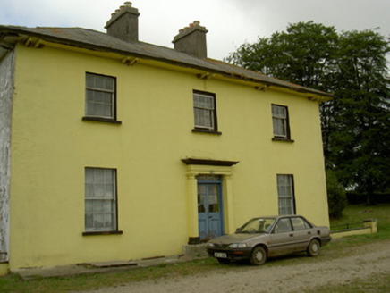 Tullakeel HouseHouse · 1411 yd
Explorer Tom Tullakeel House is keeping it simple with overhanging eaves that are basically saying 'look at me' while pretending to…
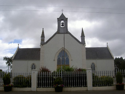 Saint Malachy's Catholic ChurchChurch/chapel · 1562 yd
Explorer Tom Saint Malachy’s Church has a strict New Year’s resolution to stop letting its stained glass get dirty. It’s all about…
 CastleCastle, motte and bailey · 1603 yd
Explorer Tom Stormanstown Castle is currently in a fairy dispute over who gets to park their tiny carriages first. The mound is huge…
 Westerns GAAGAA ground · 1726 ydPáirc Sean Mac Diarmada, Sean McDermotts GAAGAA ground · 1.1 mi
 Earthwork in Corstown (slane Lower By.)Earthwork · 1.6 mi
Explorer Tom This Earthwork in Corstown has had so many names it’s confused itself. The double ditches look like a road that got…
 Graveyard in ArtnaleveryGraveyard · 2.3 mi
Explorer Tom Graveyard in Artnalevery is locked in an eternal feud with the rain, which keeps trying to wash away the history before…
 Kildemock GraveyardGraveyard · 5.8 mi
Explorer Tom Kildemock Graveyard in County Louth has an absolute beef with the weather because it keeps getting soggy when it tries…
More archaeology and monuments in County Louth · All of County Louth

What do you know about this place?Tap to add a comment or ask a question