What is recorded here
Close to the summit of a hill 180m NE of a rath (GA054-014----). Marked on 2nd (1899) ed. of OS 6-inch map as 'Cave'. No visible surface trace survives. I - West Galway'.
From the National Monuments Service (Archaeological Survey of Ireland) record GA054-012
The monument record does not grant public access. Check the route and ask the landowner before entering private land.
- What survives
- Recorded monument
Places near here
Man-made underground passage in ClareMan-made underground passage · 188 yd Salmon LeapHouse · 882 ydfarm house884 ydSt. Michaels WellHoly well · 895 ydOwenriff WayWalking route · 1234 ydCastleCastle, unclassified · 1282 ydNewvillage ForestForest · 1.3 miInis Dáith BhuíIslet · 1.3 miGlengowla Mines MuseumMuseum · 1.9 miGlengowla MinesHeritage attraction · 1.9 miAughnanure Castle (in ruins)Castle, tower house · 2.7 miInis an GhaillIsland · 3.6 mi
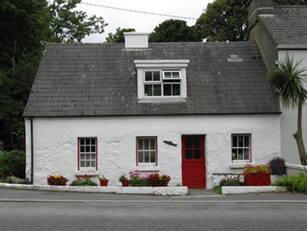 Salmon LeapHouse · 882 yd
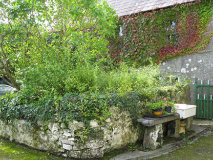 farm house884 ydSt. Michaels WellHoly well · 895 yd
 Owenriff WayWalking route · 1234 ydCastleCastle, unclassified · 1282 ydNewvillage ForestForest · 1.3 miInis Dáith BhuíIslet · 1.3 miGlengowla Mines MuseumMuseum · 1.9 mi
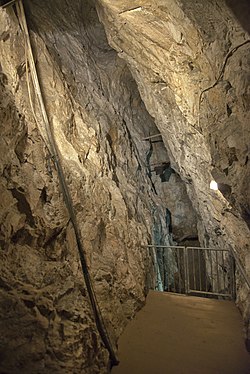 Glengowla MinesHeritage attraction · 1.9 mi
 Aughnanure Castle (in ruins)Castle, tower house · 2.7 mi
 Inis an GhaillIsland · 3.6 mi
Pictures: National Inventory of Architectural Heritage; Maigheach-gheal, Geograph · CC BY-SA 2.0; andrew mcmillan, Wikimedia Commons · CC BY 3.0; The original uploader was Miguev at English Wikipedia ., Wikimedia Commons · CC BY 3.0; Rick Crowley, Wikimedia Commons · CC BY-SA 2.0
More archaeology and monuments in County Galway · All of County Galway
What do you know about this place?