
What is recorded here
In the centre of a rath (GA054-014----). A slight depression contains the remains of a blocked Man-made underground passage running NNE-SSW. Two lintels are visible at NNE end.
The above description is derived from the published 'Archaeological Inventory of County Galway Vol. I - West Galway'. Compiled by Paul Gosling (Dublin: Stationery Office, 1993).
Date of upload: 05 August 2010
The monument record does not grant public access. Check the route and ask the landowner before entering private land.
- What survives
- Recorded monument
Places near here
 CaveMan-made underground passage · 188 yd
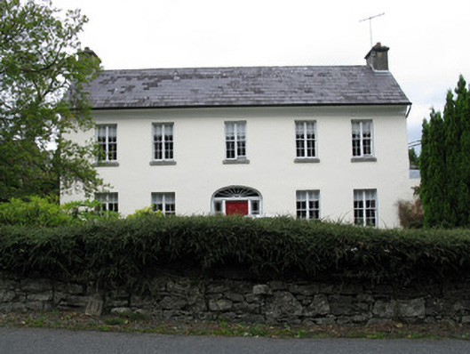 Clareville Househouse · 722 yd
 Sandy MountHouse, 18th/19th century · 727 yd
 St. Michaels WellHoly well · 806 yd
 Owenriff WayWalking route · 1263 yd
 CastleCastle, unclassified · 1335 yd
 Newvillage ForestForest · 1.3 mi
 Inis Dáith BhuíIslet · 1.4 mi
 RoeillaunIslet · 1.5 mi
 Glengowla Mines MuseumMuseum · 1.8 mi
 Glengowla MinesHeritage attraction · 1.8 mi
 AnnaghwoodWood · 2.1 mi
Other information
Photo: Credit not shown in the picture search · Rights wording not checked; contact us if this picture should be removed