
What is recorded here
From the National Monuments Service (Archaeological Survey of Ireland) record CO094-060002
Places near here
Photo credits
- Maker not stated on source page, www.alamy.com
- Maker not stated on source page, au.pinterest.com
- Maker not stated on source page, www.youtube.com
- National Inventory of Architectural Heritage
- Maker not stated on source page, www.atlasobscura.com
- Maker not stated on source page, en.wikipedia.org
- Maker not stated on source page, commons.wikimedia.org
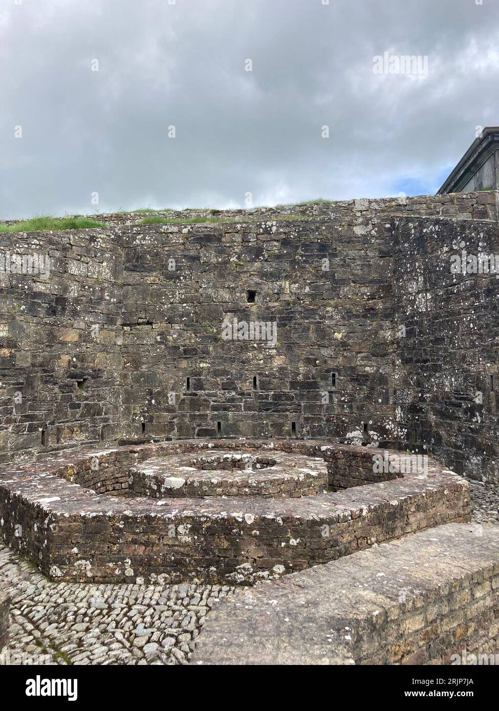 Fairy fort / earthen ringfort in Cappeen WestFairy fort / earthen ringfort · 398 yd
Explorer Tom Fairy fort / earthen ringfort in Cappeen West has a roadway that used to respect the enclosure but now truncates it.…
 Standing stone in Moneygaff WestStanding stone · 538 yd
Explorer Tom Standing stone in Moneygaff West is irregular, much like my hair after a bad day at the beach. Bring a notebook and…
 Fairy fort / earthen ringfort in AnaharlickFairy fort / earthen ringfort · 1.1 mi
Explorer Tom Anaharlick is in a total feud with the next village over who stole their best fiddle player in 1750. The bank is topped…
 monument1.2 mi
Explorer Tom Monument in Ballyvelone West is a limestone memorial from around 1960 with a Celtic cross and crossed rifles. It’s part…
Enclosure in ClashbredaneEnclosure · 1.2 miExplorer Tom Enclosure in Clashbredane is half in the forest and half open, which means it’s always arguing with itself about…
 Fairy fort / earthen ringfort in Paddock (carbery East (w.d) By., Kinneigh Par.)Fairy fort / earthen ringfort · 1.2 mi
Explorer Tom Fairy fort / earthen ringfort in Paddock By., Kinneigh Par. got levelled in 1970, so it’s basically a ghost with a…
 Anomalous stone group in KinneighAnomalous stone group · 1.9 mi
Explorer Tom Anomalous stone group in Kinneigh is a slab supported by an upright that nobody can quite figure out. It’s near a…
 St. Joseph's CemeteryGraveyard · 6.1 mi
Explorer Tom St. Joseph's Cemetery in County Cork swears by a local superstition that you must whistle once before leaving or you’ll…
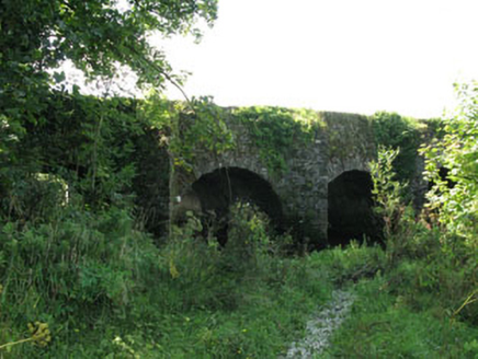 The Long BridgeBridge · 6.4 mi
Explorer Tom The Long Bridge in Ballyhalwick spans the Bandon River with multiple arches of pure 1820 skill. It’s been widened…
 Saint Patrick's Catholic ChurchPresbytery/parochial/curate's house · 6.5 mi
Explorer Tom Saint Patrick's Catholic Church presbytery is one big house for several priests, which means someone is always knocking…
 Church in Dunmanway NorthChurch · 6.5 mi
Explorer Tom The other Church in Dunmanway North also has no description, so I’m going with 'it’s a secret society meeting spot'.…
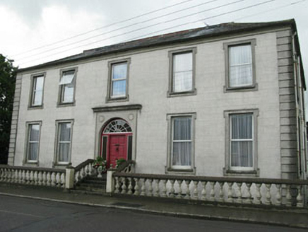 Carbery HouseOfficially recorded historic building · 6.7 mi
Explorer Tom Carbery House in Dunmanway North is an 1770s aristocrat who lost some of its clothes but still walks with a stick. The…
More archaeology and monuments in County Cork · All of County Cork

What do you know about this place?Tap to add a comment or ask a question