What is recorded here
On edge of forestry. Depicted as hachured circular raised area (diam. c. 20m) on 1842 and 1904 OS 6-inch maps. Circular area divided in two by E-W field fence forming townland boundary (24.3m E-W). N portion in forestry and inaccessible; curving band of lower overgrowth probably indicates line of bank. Smaller portion to S, enclosed by grass-covered stone bank (max. H 0.85m). Entrance (Wth 1.55m) to SW faced on each side by upright stones (H 0.5m-0.7m). Interior overgrown.
The above description is derived from the published 'Archaeological Inventory of County Cork. Volume 3: Mid Cork' (Dublin: Stationery Office, 1997). In certain instances the entries have been revised and updated in the light of recent research.
Date of upload/revision: 14 January 2009
The monument record does not grant public access. Check the route and ask the landowner before entering private land.
- What survives
- Recorded monument
Places near here
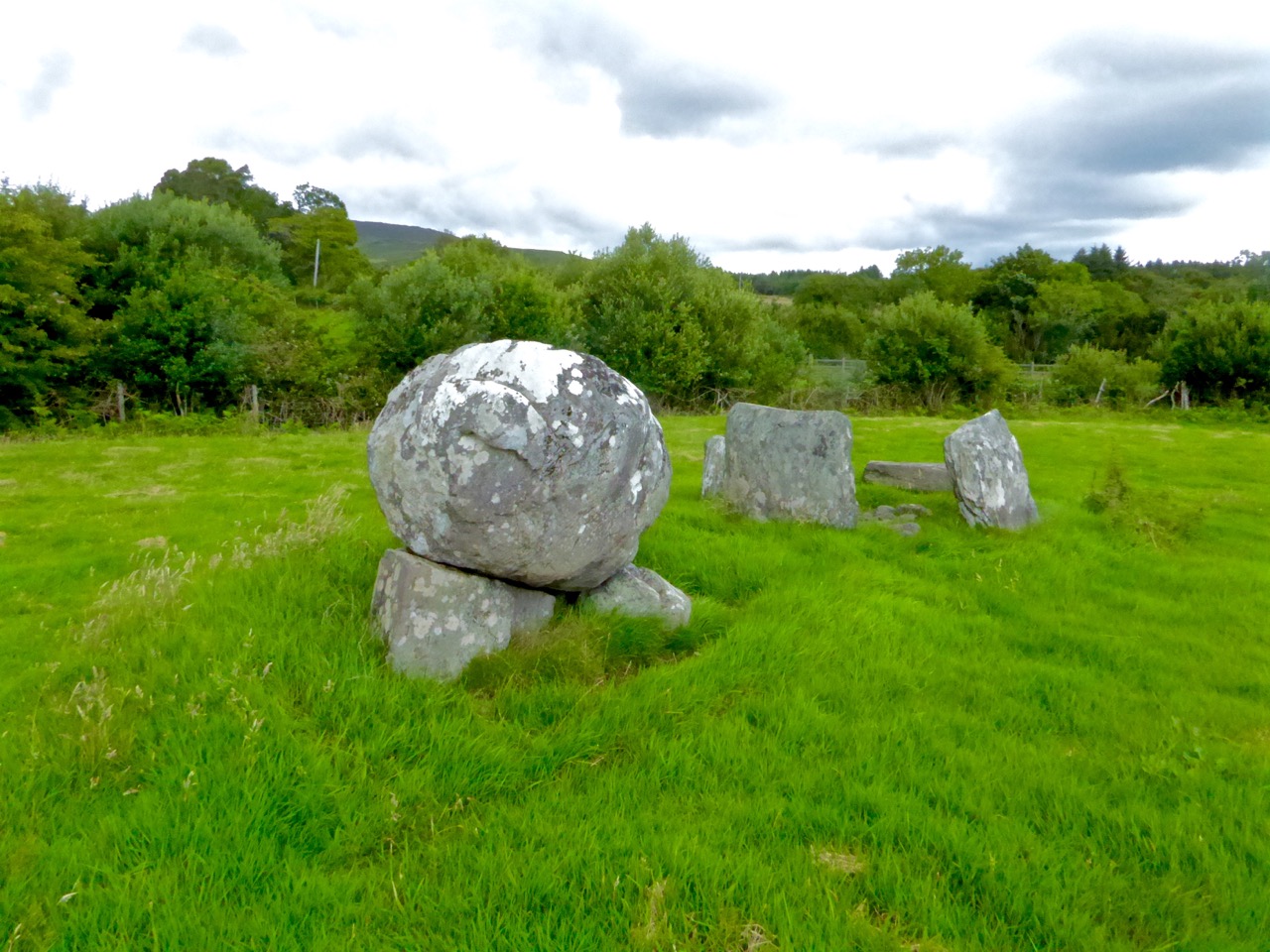 Boulder-burial in ClashbredaneBoulder-burial · 662 yd
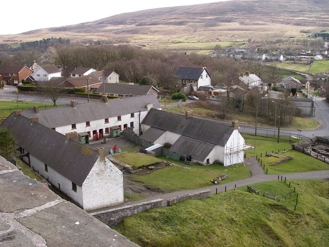 LabbaowenWedge tomb · 663 yd
 IndicatedKiln, lime · 1.6 mi
 Carrigboy Castlehouse · 1.8 mi
 Kilmichael Ambush SiteMonument · 2.5 mi
 Kilmichael Ambushambush · 2.5 mi
 OCrowleys Castle (in Ruins)Castle, tower house · 3.3 mi
 Dromcarra Castle (in Ruins)Castle, tower house · 3.5 mi
 Castle RockNamed rock · 3.6 mi
 Green HillMountain / peak · 4.0 mi
 Summerhouse WoodForest · 4.3 mi
 The Gearagh Nature ReserveNature reserve · 4.9 mi