What is recorded here
Overgrown, partially-collapsed kiln built against rock outcrop, on N side of trackway. Front (SSW) collapsed revealing back of flue which is roughly oval in plan (c. 2.75m NW-SE; c. 2.6m SW-NE), inner facing of roughly coursed heat-shattered sandstone blocks. Shown on 1842 OS 6-inch map.
The above description is derived from the published 'Archaeological Inventory of County Cork. Volume 3: Mid Cork' (Dublin: Stationery Office, 1997). In certain instances the entries have been revised and updated in the light of recent research.
Date of upload/revision: 14 January 2009
The monument record does not grant public access. Check the route and ask the landowner before entering private land.
- What survives
- Recorded monument
Places near here
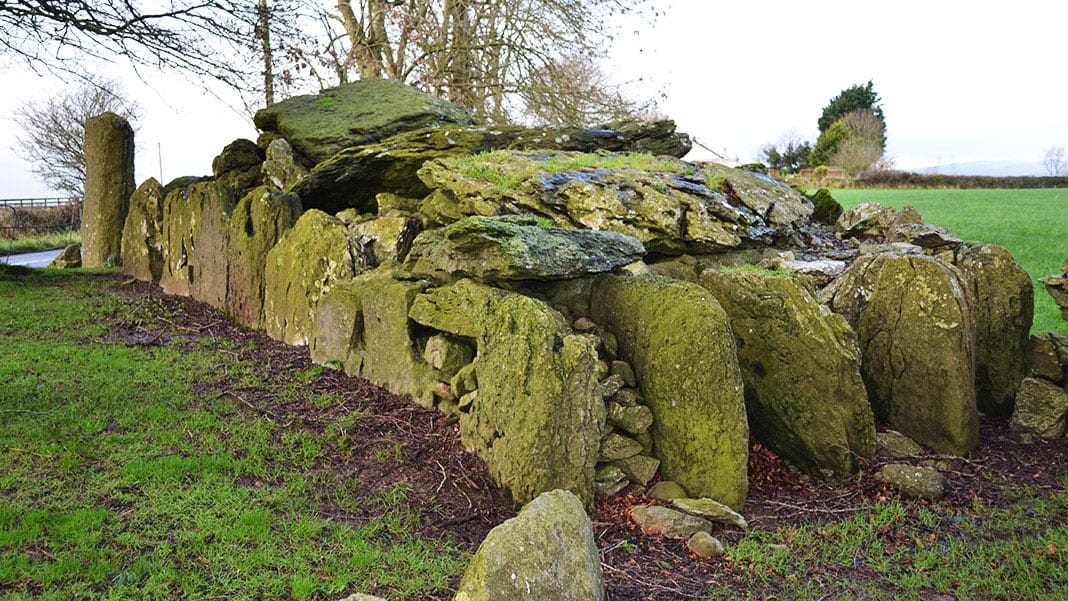 Wedge tomb in Carrigboy (muskerry West By.)Wedge tomb · 442 yd
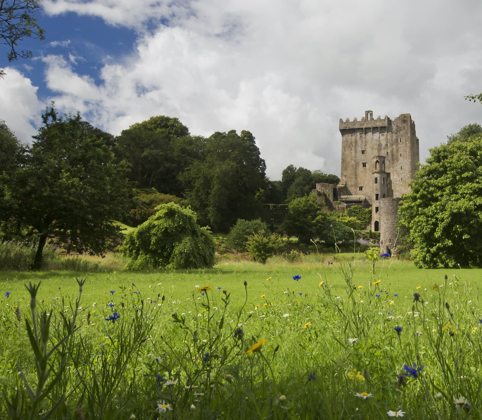 LisheenroeFairy fort / earthen ringfort · 700 yd
 Carrigboy Castlehouse · 1302 yd
 Country house in Carrigboy (muskerry West By.)Country house · 1316 yd
 Kilmichael Ambush SiteMonument · 1.1 mi
 Kilmichael Ambushambush · 1.1 mi
 Dromcarra Castle (in Ruins)Castle, tower house · 2.6 mi
 Castle (Site of)Castle, unclassified · 2.9 mi
 The Gearagh Nature ReserveNature reserve · 4.5 mi
 Castle RockNamed rock · 4.5 mi
 Port Ban Nature Reserve, Irish Wildlife TrustNature reserve · 5.1 mi
 Gortnahoughtee Mass RockNamed rock · 5.6 mi
Other information
Photo: Credit not shown in the picture search · Rights wording not checked; contact us if this picture should be removed