What is recorded here
In high level pasture, commanding view of Shehy Mountains to W. Circular area (24m E-W) enclosed by earthen bank (int. H 0.8m; ext. H 1m) N->S; earthen stone-faced bank elsewhere. Bank S->N incorporated into field fence system. Interior partially overgrown with briars and bushes. Rectangular depression (L 8m N-S; Wth 3m E-W; D 0.6m) in NW quadrant.
The above description is derived from the published 'Archaeological Inventory of County Cork. Volume 3: Mid Cork' (Dublin: Stationery Office, 1997). In certain instances the entries have been revised and updated in the light of recent research.
Date of upload/revision: 14 January 2009
Lisheenroe, Clashbredane is a circular earthen ringfort, likely dating to the early medieval period, with a stone-faced bank on part of its enclosure. Local tradition associates such sites with fairy dwellings, and it may have been considered a place of supernatural significance in folklore.
The monument record does not grant public access. Check the route and ask the landowner before entering private land.
- What survives
- Recorded monument
Places near here
 Bredanes GraveWedge tomb · 583 yd
 IndicatedKiln, lime · 700 yd
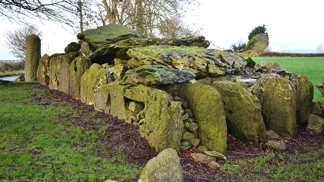 Wedge tomb in Carrigboy (muskerry West By.)Wedge tomb · 825 yd
 Kilmichael Ambush SiteMonument · 1.1 mi
 Kilmichael Ambushambush · 1.1 mi
 Carrigboy Castlehouse · 1.1 mi
 OCrowleys Castle (in Ruins)Castle, tower house · 2.8 mi
 Dromcarra Castle (in Ruins)Castle, tower house · 3.0 mi
 Castle RockNamed rock · 4.1 mi
 The Gearagh Nature ReserveNature reserve · 4.8 mi
 Summerhouse WoodForest · 5.4 mi
 Gortnahoughtee Mass RockNamed rock · 5.6 mi
Other information
Photo: Credit not shown in the picture search · Rights wording not checked; contact us if this picture should be removed