What is recorded here
From the National Monuments Service (Archaeological Survey of Ireland) record CO094-022
Places near here
Photo credits
- Maker not stated on source page, www.alamy.com
- Maker not stated on source page, au.pinterest.com
- Maker not stated on source page, www.pinterest.com
- National Inventory of Architectural Heritage
- Maker not stated on source page, www.istockphoto.com
- Maker not stated on source page, www.youtube.com
- Maker not stated on source page, www.tripadvisor.ie
- Maker not stated on source page, fi.pinterest.com
- Maker not stated on source page, global-geography.org
- Kmcnamee, Wikimedia Commons · CC BY-SA 4.0
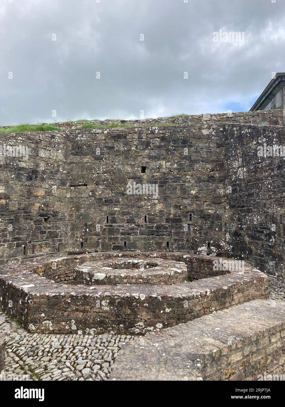 Enclosure in ClashbredaneEnclosure · 461 yd
Explorer Tom Enclosure in Clashbredane is small and rough, with a field boundary cutting right through it like someone didn't care…
 Standing stone in Moneygaff WestStanding stone · 1595 yd
Explorer Tom Standing stone in Moneygaff West is irregular, much like my hair after a bad day at the beach. Bring a notebook and…
Fairy fort / earthen ringfort in Cappeen WestFairy fort / earthen ringfort · 1.1 miExplorer Tom Fairy fort / earthen ringfort in Cappeen West has a roadway that used to respect the enclosure but now truncates it.…
 Carrigboy WoodWood · 1.9 mi
Explorer Tom Carrigboy Wood would describe the 1800s to a teenager as ‘the era before phones when people just stood around looking…
 Carrigboy CastleHouse · 2.0 mi
Explorer Tom Carrigboy Castle in Carrigboy is a mess of phases from the 1870s. It has stepped gables and wings that look like they…
 Wedge tomb in Knockane (muskerry West By.)Wedge tomb · 2.1 mi
Explorer Tom Wedge tomb in Knockane would get on its tombstone: 'Here lies a gallery that collapsed before anyone could properly…
 Fairy fort / earthen ringfort in AnaharlickFairy fort / earthen ringfort · 2.3 mi
Explorer Tom Anaharlick is in a total feud with the next village over who stole their best fiddle player in 1750. The bank is topped…
 O’Crowley CastleRuins · 3.5 mi
Explorer Tom O’Crowley Castle is being actively judged by the rabbits who live in its walls and think it’s too drafty. They are…
 Standing stone in BehagullaneStanding stone · 4.1 mi
Explorer Tom Standing stone in Behagullane handles its nosy neighbours by just standing there and staring at them until they get…
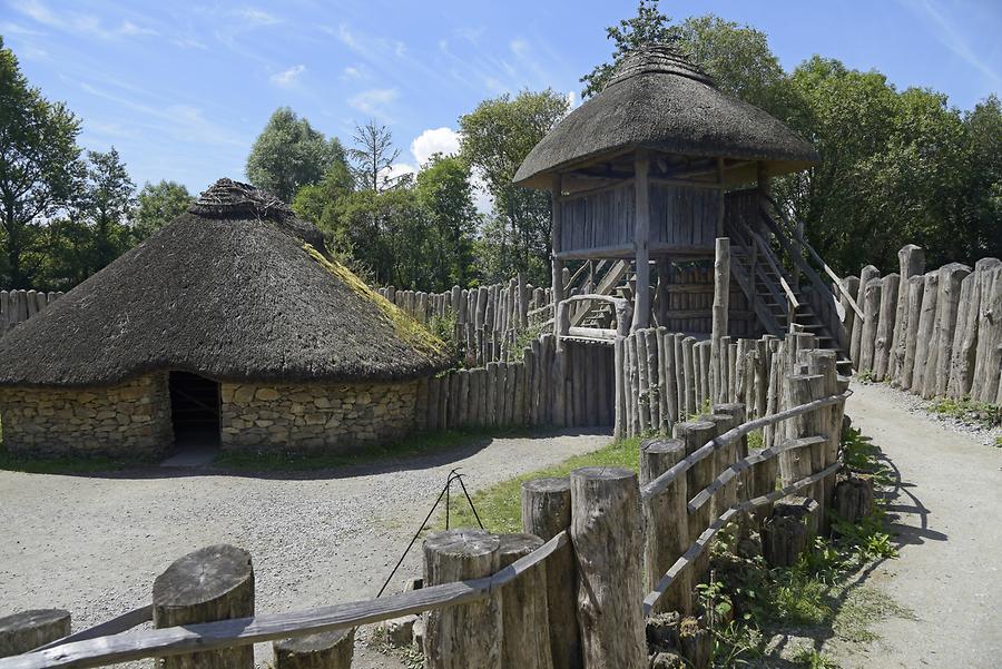 Fairy fort / earthen ringfort in BehaghFairy fort / earthen ringfort · 5.4 mi
Explorer Tom Fairy fort / earthen ringfort in Behagh is levelled and barely discernible as a slightly raised circular area. It's…
 Church in Nohaval DalyChurch · 21 mi
Explorer Tom Church in Nohaval Daly is just grass-covered mounds that locals call 'The Little Church', which sounds like a pet name…
 Glenflesk GAA pitchGAA ground · 21 mi
More archaeology and monuments in County Cork · All of County Cork

What do you know about this place?Tap to add a comment or ask a question