What is recorded here
In SW quadrant of ringfort (GA057-068----). An L-shaped drystone Man-made underground passage consisting of two chambers connected by a drop-hole creep. Access to the 1st chamber (L 7.35m, Wth 1.29m), which runs ESE-WNW, is gained via a small opening at ESE end. Grassed-over foundation stones visible to ESE of this point suggest that the chamber extended further in this direction. The drop-hole creep (L 2.4m, Wth 0.83 max. H 0.78m), running off SW wall, at WNW end, leads to the 2nd chamber (L 8.25m, Wth 1.61m) which runs NME-SSW. II - North Galway'.
In SW quadrant of ringfort (GA057-068----). An L-shaped drystone Man-made underground passage consisting of two chambers connected by a drop-hole creep. Access to the 1st chamber (L 7.35m, Wth 1.29m), which runs ESE-WNW, is gained via a small opening at ESE end. Grassed-over foundation stones visible to ESE of this point suggest that the chamber extended further in this direction. The drop-hole creep (L 2.4m, Wth 0.83 max. H…
From the National Monuments Service (Archaeological Survey of Ireland) record GA057-068001
The monument record does not grant public access. Check the route and ask the landowner before entering private land.
- What survives
- Recorded monument
Places near here
Photo credits
- Mike Searle, Wikimedia Commons · CC BY-SA 2.0
- National Inventory of Architectural Heritage
- Graham Horn, Geograph · Creative Commons Attribution-ShareAlike 2.0
- Mike Searle, Geograph · CC BY-SA 2.0
- Malene Thyssen, Wikimedia Commons · CC BY-SA 3.0
- Enda O Flaherty, Geograph · CC BY-SA 2.0
- Wanfried-Dublin, Wikimedia Commons · CC BY-SA 3.0
- Mac McCarron, Geograph · Creative Commons Attribution-ShareAlike 2.0
_(geograph_1953877).jpg/250px-Castles_of_Connacht-_Corrofin,_Galway_(2)_(geograph_1953877).jpg "Photo: Mike Searle, Wikimedia Commons · CC BY-SA 2.0") Corrofin CastleCastle · 2.2 mi
Corrofin CastleCastle · 2.2 mi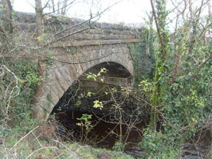 Corrofin BridgeBridge · 2.2 mi
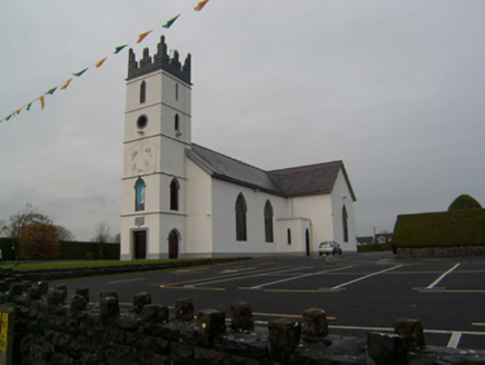 Saint Colman's Catholic ChurchChurch/chapel · 2.3 mi
 Bawnmore HouseOutbuilding · 2.8 mi
 Grave YardGraveyard · 3.3 mi
 Cregg CastleHouse · 3.4 mi
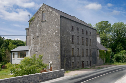 Cregg MillsMill (water) · 3.4 mi
 European Beech3.6 mi
 Ballinderry CastleCastle, tower house · 4.3 mi
 KnockmaaWood · 4.8 mi
 Kilcoona Round TowerHeritage attraction · 5.4 mi
 Grave YardGraveyard · 6.7 mi
More archaeology and monuments in County Galway · All of County Galway
What do you know about this place?