What is recorded here
Not marked on the 1837 edition of the edition of the OS 6-inch map. However there is a 'Cave' named on the 1912 edition. There is marked in the NE quadrant of Bunduff cashel (SL003-023001-).There are no remains of this possible Man-made underground passage now visible above ground level. O'Donovan
Date of upload: 21 April 2011
From the National Monuments Service (Archaeological Survey of Ireland) record SL003-023002
The monument record does not grant public access. Check the route and ask the landowner before entering private land.
- What survives
- Recorded monument
Places near here
Photo credits
- National Inventory of Architectural Heritage
- Rob Hurson, Wikimedia Commons · CC BY-SA 4.0
- Oliver Dixon, Wikimedia Commons · CC BY-SA 2.0
- N Chadwick, Geograph · CC BY-SA 2.0
- Gerd Eichmann, Wikimedia Commons · CC BY-SA 4.0
- NTF30, Wikimedia Commons · CC BY-SA 4.0
- Gordon Hatton, Geograph · CC BY-SA 2.0
- Jacobfrid, Wikimedia Commons · CC BY-SA 4.0
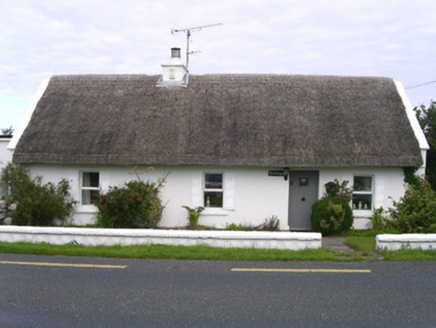 The CottageHouse · 298 yd
 Giants GravesCourt tomb · 596 yd
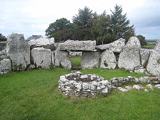 Creevykeel Court TombNeolithic court tomb · 599 yd
 Creevykeel burial moundArchaeological place · 602 yd
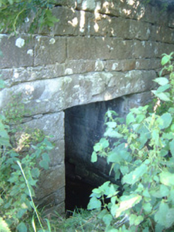 bridge1.3 mi
 Classiebawn CastleCastle · 1.7 mi
 assassination of Louis Mountbatten, 1st Earl Mountbatten of BurmaAssassination · 1.7 mi
 Wild Atlantic Way: Mullaghmore HeadVisitor information · 2.3 mi
 Mullaghmore HeadVisitor information · 2.3 mi
 BenwiskinMountain / peak · 3.7 mi
 TievebaunMountain / peak · 4.4 mi
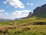 Eagle's RockMountain / peak · 5.1 mi
More archaeology and monuments in County Sligo · All of County Sligo
What do you know about this place?