What is recorded here
Situated on NE-facing slope, in gently undulating pasture, with good views to NW, NE and SE. In the NW quadrant of ringfort (WM024-141001-) is a slight depression which probably represents the site of a Man-made underground passage, annotated ‘Cave’ on the revised 1913 ed. OS 25-inch map.
From the National Monuments Service (Archaeological Survey of Ireland) record WM024-141001
The monument record does not grant public access. Check the route and ask the landowner before entering private land.
- What survives
- Recorded monument
Places near here
Photo credits
- National Inventory of Architectural Heritage
- Wayne77, Wikimedia Commons · CC BY-SA 3.0
- Willow, Wikimedia Commons · CC BY 2.5
- Bridget Neville, Wikimedia Commons · CC BY-SA 4.0
- Mike Searle, Geograph · CC BY-SA 2.0
Partially hachuredFairy fort / earthen ringfort · 401 yd Mosstown HouseOutbuilding · 897 ydIndicatedCastle, unclassified · 911 ydpost box1675 ydSaint Brigid's Catholic ChurchChurch/chapel · 1.0 miwater pump1.1 miKillgarvan HouseHouse · 1.1 miJapanese pagoda tree1.3 miKnockastiaMountain / peak · 1.4 miEuropean ash2.3 miBrides WellHoly well · 2.3 miLaragh CastleCastle · 2.6 mi
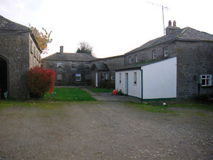 Mosstown HouseOutbuilding · 897 ydIndicatedCastle, unclassified · 911 yd
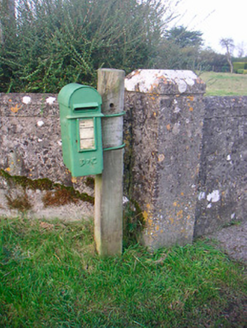 post box1675 yd
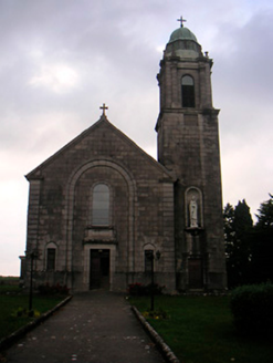 Saint Brigid's Catholic ChurchChurch/chapel · 1.0 mi
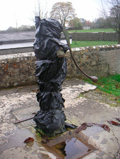 water pump1.1 mi
 Killgarvan HouseHouse · 1.1 mi
 Japanese pagoda tree1.3 miKnockastiaMountain / peak · 1.4 mi
 European ash2.3 mi
 Brides WellHoly well · 2.3 mi
 Laragh CastleCastle · 2.6 mi
More archaeology and monuments in County Westmeath · All of County Westmeath
What do you know about this place?