What is recorded here
Situated in undulating pasture on the demesne land of Mosstown Ho. located 250m to the N. The townland of Mosstown Demesne formed part of Ballinkeeny [Ballenkeny] in the medieval period. Ballikenny Castle was depicted as a tower house type castle standing close to the townland boundary with Ballyclogher on the Down Survey map of Killare parish (NLI, MS 723-4). The terrier of this parish map stated that in 'Clare, Dooneild, Rathskeagh, Killinbrack, Bishopsland Ballikenny on each of them stands a Castle' (ibid.). On this map the castle stood on lands belonging to Thomas Coffy who is listed as an 'Irish papist' (ibid.). The ruins of a castle or tower are shown on Larkin’s 1808 map of Co. Westmeath (NLI, MS 46,580). The castle is depicted on the 1837 ed. OS 6-inch map as a rectangular structure with its long axis aligned NE-SW. Shown as a circular structure on the revised 1913 ed. OS 25-inch map. A circular-shaped tower is visible at this location today on Digital Globe aerial photography. Punch dressed stonework from this medieval castle has been reused in the building of a structure standing in the centre of a ringfort (WM024-110----) located 400m to the N. Architectural fragments of this castle includes a punch dressed chamfered stone possibly part of the arch of the doorway into the castle along with a punch-dressed quoin.
Situated in undulating pasture on the demesne land of Mosstown Ho. located 250m to the N. The townland of Mosstown Demesne formed part of Ballinkeeny [Ballenkeny] in the medieval period. Ballikenny Castle was depicted as a tower house type castle standing close to the townland boundary with Ballyclogher on the Down Survey map of Killare parish (NLI, MS 723-4). The terrier of this parish map stated that in 'Clare,…
From the National Monuments Service (Archaeological Survey of Ireland) record WM024-147
The monument record does not grant public access. Check the route and ask the landowner before entering private land.
- What survives
- Recorded monument
Places near here
Photo credits
- National Inventory of Architectural Heritage
- Wayne77, Wikimedia Commons · CC BY-SA 3.0
- Willow, Wikimedia Commons · CC BY 2.5
- Bridget Neville, Wikimedia Commons · CC BY-SA 4.0
- Mike Searle, Geograph · CC BY-SA 2.0
- Abi Skipp, Wikimedia Commons · CC BY 2.0
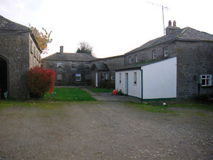 Mosstown HouseOutbuilding · 237 ydPartially hachuredFairy fort / earthen ringfort · 619 yd
 post box791 yd
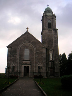 Saint Brigid's Catholic ChurchChurch/chapel · 880 ydCastleCastle, unclassified · 921 yd
 water pump969 yd
 Japanese pagoda tree1.8 miKnockastiaMountain / peak · 1.8 mi
 European ash1.9 mi
 Brides WellHoly well · 1.9 mi
 Laragh CastleCastle · 2.7 mi
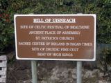 Hill of UisneachMountain / peak · 2.7 mi
More castles and forts in County Westmeath · All of County Westmeath
What do you know about this place?