What is recorded here
Thirty-two metres of wet stone link the crannog to the mainland, barely clearing the surface of Maghery Lough. The path is narrow enough to force a person to walk slowly, feel the water at their ankles and trust the stones beneath their feet. That is a bridge built for attention, not hurry.
In Maghery Lough, associated with an island crannog (DG056-005001-).
This causeway (L 32m; Wth 0.6-1m; H 0.2-0.4m) extends from the E side of the crannog to the mainland on the E shoreline of the lake. It is roughly constructed, consisting of a low narrow pile of stones and boulders barely rising above water level. It incorporates a large natural boulder towards its E, landward end.
Notified to NMS by Michael Gibbons.
Attached images:
DG056-005002-_01.JPG Viewed from W, looking towards crannog/island (DG056-005001-)
DG056-005002-_02.JPG Viewed from E, looking towards mainland
Compiled by: Jane O'Shaughnessy
Date of upload: 28 February 2022
The monument record does not grant public access. Check the route and ask the landowner before entering private land.
- What survives
- Recorded monument
Places near here
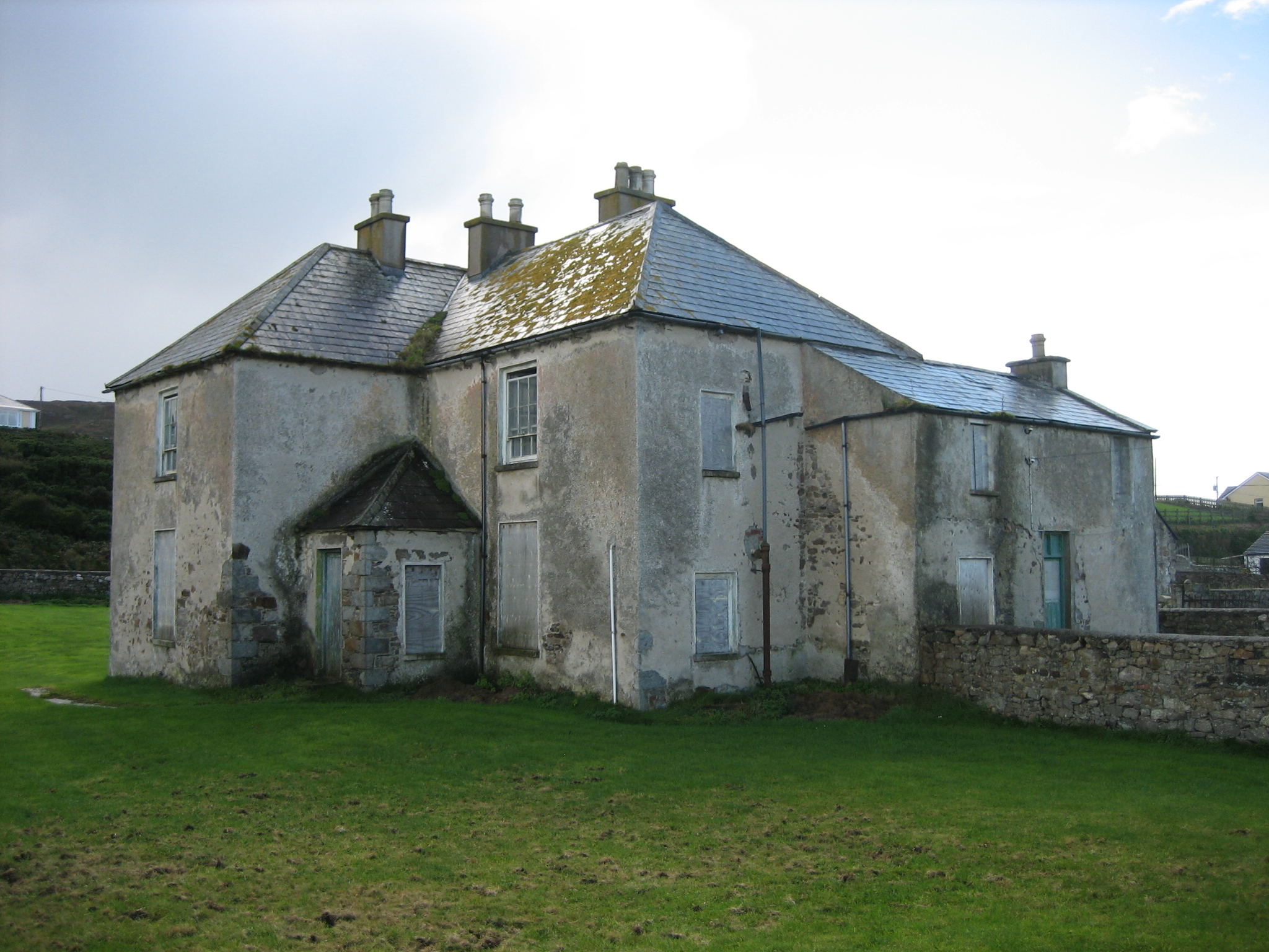 The Rectoryrectory/glebe/vicarage/curate's house · 689 yd
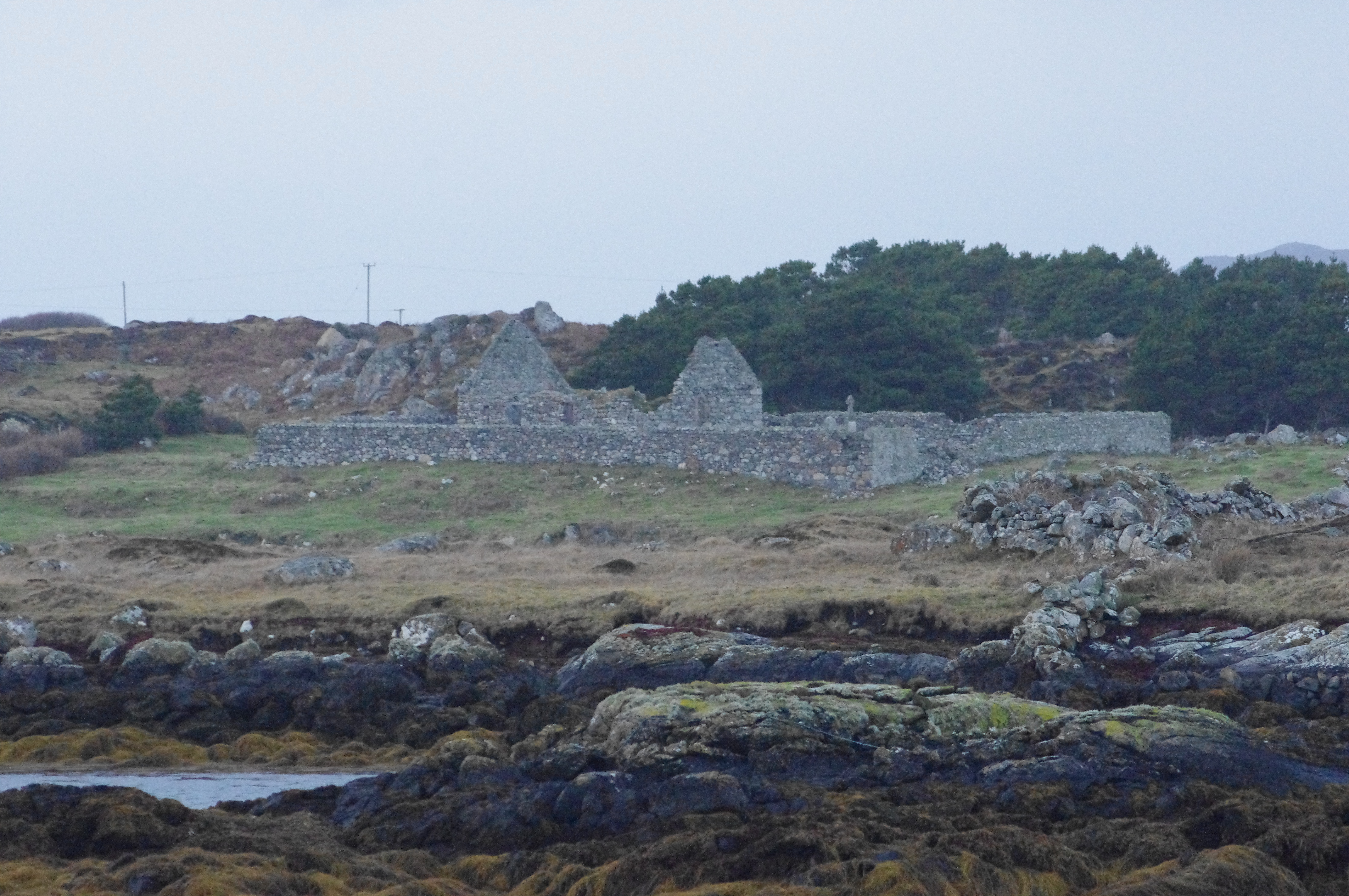 Teampall Cróine [Templecrone]church/chapel · 1123 yd
 Enclosure in An MachaireEnclosure · 1260 yd
 TobercroneHoly well · 1265 yd
 CroaghnamaddyMountain / peak · 1.5 mi
 Inis Mhic an DoirnIsland · 3.3 mi
 Hook Point / Pointe an DuáinHeadland · 3.3 mi
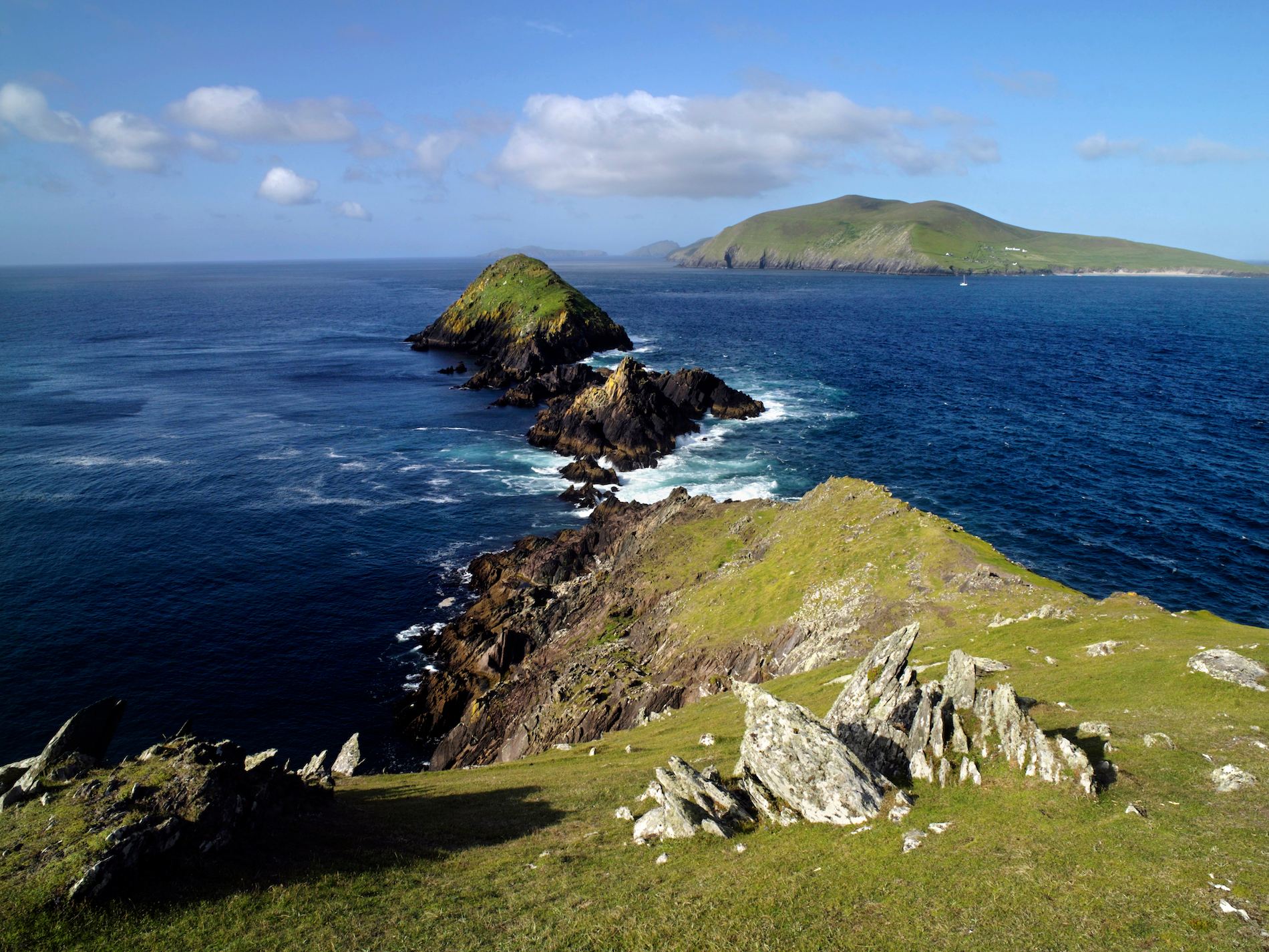 Brush IslandsIslet · 3.8 mi
 Trá an ChaisilBeach / strand · 4.0 mi
 Near beachBeach / strand · 4.0 mi
 Drumlaghdrid HillMountain / peak · 4.9 mi
 Bonny Glen WoodForest recreation place · 6.9 mi