
What is recorded here
Detached three-bay single-storey single-cell national school, built 1887, with single-bay single-storey gabled projecting lower porch to left. Now disused. Pitched slate roof (gabled to porch) with clay ridge tiles, red brick Running bond chimney stack, and remains of cast-iron rainwater goods on exposed timber eaves. Random rubble stone walls with squared limestone quoins to corners, and cut-limestone date stone/plaque [date not discernible] to gable to porch. Square-headed window openings with cut-limestone sills, red brick voussoirs, and timber casement windows. Square-headed door opening with red brick voussoirs, and timber boarded door. Set back from road in grounds shared with school master's house.
A small-scale school representing an important element of the architectural heritage of the environs of Castlegannon and Knockmoylan on account of the status as the earliest-surviving purpose-built educational facility in the locality. Notwithstanding a prolonged period of disuse the essential composition attributes survive in place together with most of the early fabric, thereby maintaining the integrity of the site. Originally forming a neat self-contained group alongside an adjacent school master's house (built 1887; extensively renovated, c.1975; not included in survey) the school remains an appealing feature enlivening the aesthetic value of the street scene.
This does not grant access. Most recorded buildings are privately owned; view them only from public ground unless the owner allows entry.
Places near here
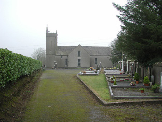 All Saints' Catholic Churchchurch/chapel · 289 yd
 Crowbally RingfortArchaeological place · 735 yd
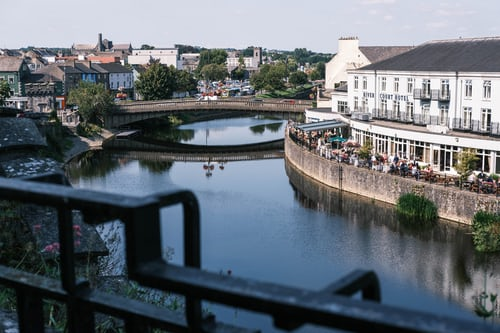 Ballytarsna RingfortArchaeological place · 975 yd
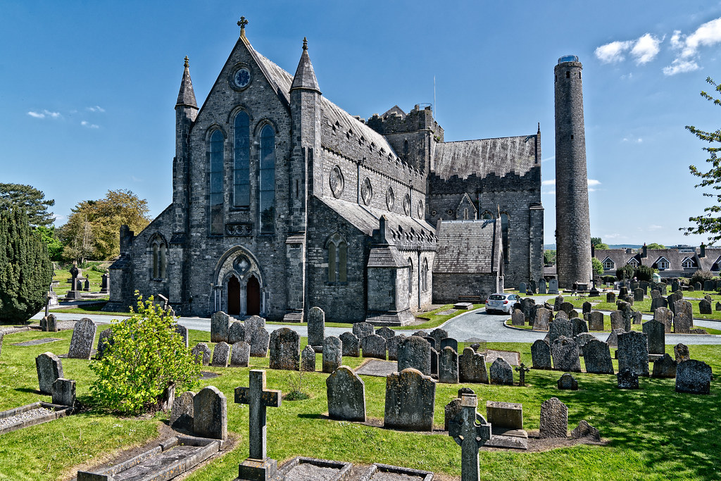 Kilcready Church (in Ruins)Church · 1115 yd
 Crowbally Castle (Site of)Castle, unclassified · 1425 yd
 Mansels Court (Site of )Castle, unclassified · 1607 yd
 Thomas PhelanMemorial · 2.3 mi
 Graveyard in KilkeasyGraveyard · 2.3 mi
 Common AlderCommon Alder · 3.1 mi
 Poulanassy WaterfallWaterfall · 3.7 mi
 Clonassy WoodForest · 4.5 mi
 Castlemorris Pheasant LoopWalking route · 4.8 mi
Other information
Photo: National Inventory of Architectural Heritage · Website use allowed for educational or private purposes with source credit