
What is recorded here
Yes. Templars are recorded in the supplied facts. The earlier claim about a hidden journal is false. I will not invent that journal or present it as fact.
Possibly situated on natural outcrop which slopes to S and there is a steep drop to the S and W. It is a good commanding location for a castle with close associations with the church (TS077-060----) located at top of hill 200m to NW and possible medieval earthwork (TS077-061----) c. 150m to the SW. The manor of Rathronan is associated with the Templars (Gwynn and Hadcock 1988, 330). The Ormond Deeds mention 'William Walensis, lord of Rathronan' as a witness to a grant in c. 1250 (COD vol. 1, 46). The OS Letters describe the castle as being formerly situated about half a furlong, c. 100m, E of Rathronan ringwork (TS077-061----) though 'no part of it remains at present, it having been pulled down about thirty years ago by an honest Quaker of the name Thompson, who has not had much luck ever since, Má’s fíor [if it be true]' (O'Flanagan 1930, vol. 1, 51). There is no visible trace of the castle which is not indicated on either the 1st (1840) or 2nd (1904) ed. OS 6-inch map. However, it is a good commanding location for a castle with close associations with the above church and possible medieval earthwork (TS077-061----) c. 150m to the SW. The N part of the field in which this castle is thought to have stood, which is indicated on the OS 6-inch map as an area of outcrop, has been quarried. The Civil Survey (1654-6) refers to 'the walls of a burned castle' as well as 'a Court-leet & Court-barron doe belong to the sd towne as to the castle and mannor, of Rathronan aforesaid' (Simington 1931, vol. 1, 292). A castle is also depicted in this area on the Down Survey maps.
Compiled by: Jean Farrelly
Date of revised upload: 18 December 2014
This remains an important historical record, but the official description says the monument is no longer visible or has been destroyed. The monument record does not grant public access. Check the route and ask the landowner before entering private land.
- What survives
- No visible remains or recorded as destroyed
Places near here
 The Bell TreeRitual site, holy tree/bush · 106 yd
 RathronanCastle, ringwork · 149 yd
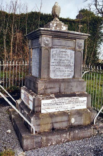 Rathronan Churchmonument · 220 yd
 Enclosure in RathronanEnclosure · 545 yd
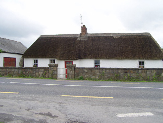 The Thatchhouse · 1.3 mi
 The WoodsForest · 1.3 mi
 Bawn in PowerstownBawn · 1.4 mi
 Persian WalnutPersian Walnut · 2.0 mi
 Vincent HanleyMemorial · 2.0 mi
 Charles BianconiMemorial · 2.2 mi
 Main GuardHeritage attraction · 2.2 mi
 Merchant's HouseVisitor information · 2.3 mi
Other information
Photo: Credit not shown in the picture search · Rights wording not checked; contact us if this picture should be removed