What is recorded here
Rathcrogue Castle vanished before human memory, leaving only a tower mark on a 1655 survey and no trace for later eyes. That absence is not a failed record; it is a shape of loss. The land kept the castle long after stone, name and witness departed. To imagine it is not to invent it, but to complete what measurement stopped short of doing.
The following description is derived from the published 'Archaeological Inventory of County Carlow' (Dublin: Stationery Office, 1993). In certain instances the entries have been revised and updated in the light of recent research.
Date of upload/revision: 17 July 2007
Down Survey (1655-6) map shows tower in vicinity of Rathcrogue House. Not referred to in Ballynacarrig Parish list. No visible surface trace. The precise location of this castle is unknown.
The monument record does not grant public access. Check the route and ask the landowner before entering private land.
- What survives
- Recorded monument
Places near here
 Rathcrogue Househouse · 334 yd
 IndicatedEnclosure, large enclosure · 625 yd
 Site of CastleCastle, unclassified · 989 yd
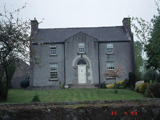 Green Househouse · 1036 yd
 Enclosure in KilmeanyEnclosure · 1191 yd
 Pedunculate OakPedunculate Oak · 1318 yd
 Graigue Castle in ruinsCastle, unclassified · 1.4 mi
 Brownshill Portal TombVisitor information · 2.4 mi
 Kilmurry Church (in ruins), GraveyardChurch · 2.7 mi
 Church (in ruins), GraveyardChurch · 3.2 mi
 Carlow County MuseumMuseum · 3.2 mi
 White willowWhite willow · 3.3 mi