What is recorded here
Down Survey men sketched a roofless castle in Rathbride during 1655-6, yet later mapping erased it without explanation. The site may still hide beneath Kildare soil, waiting for someone to stop trusting official charts and start digging where certainty ends.
Recorded on the Down Survey (1655-6) as an apparently roofless structure, a possible tower house, but not recorded on the subsequent OS mapping. It has not been located.
Compiled by: Gearóid Conroy
Date of upload: 14 February 2012
The monument record does not grant public access. Check the route and ask the landowner before entering private land.
- What survives
- Recorded monument
Places near here
 Enclosure in RathbrideEnclosure · 902 yd
 Pedestal of a Cross(Called the Wart Stone)Cross, Wayside cross · 1292 yd
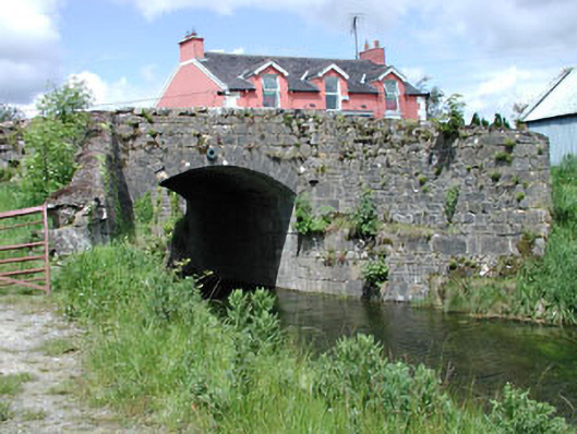 bridgebridge · 1.0 mi
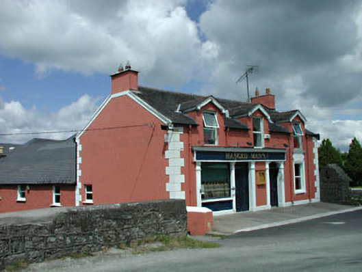 The Gaelic Househouse · 1.0 mi
 Pollardstown Fen Nature ReserveNature reserve · 1.1 mi
 TumulusCastle, motte and bailey · 2.0 mi
 Chair of KildareCastle, unclassified · 2.2 mi
 Saint Fiachra's GardenHeritage attraction · 3.1 mi
 Bee-bee treeBee-bee tree · 3.2 mi
 Horse MuseumMuseum · 3.3 mi
 Bithia Mary CrokerMemorial · 5.6 mi
 Grand Canal WayVisitor information · 6.0 mi