What is recorded here
Hitchestown in Dysart parish kept a castle tradition long after the Down Survey left the barony map empty. The site resists classification because it may have been a hall, a stronghold or a memory dressed as stone. That uncertainty does not weaken the place; it preserves the moment when human beings first imagined walls large enough to notice.
There was a local tradition of castle site (IFC Schools MSS 673, 123) at Hitchestown in Dysart parish, for which see this web-page accessed on 9 May, 2016 http://www.duchas.ie/en/cbes/5008861/4961788 However, no castle is indicated in Desart parish on the Down Survey (1656-8) barony map, for which see this web-page accessed on 9 May, 2016 http://downsurvey.tcd.ie/down-survey-maps.php#bm=Ferrard&c=Louth The precise location of this castle was not known and even this tradition did survive into the 1960s.
The above description is derived from both the published 'Archaeological Inventory of County Louth' (Dublin: Stationery Office, 1986) and the 'Archaeological Survey of County Louth' (Dublin: Stationery Office, 1991). In certain instances the entries have been revised and updated in the light of recent research.
Date of revision: 9 May 2016
The monument record does not grant public access. Check the route and ask the landowner before entering private land.
- What survives
- Recorded monument
Places near here
 European BeechEuropean Beech · 452 yd
 European YewEuropean Yew · 521 yd
 HermitageHermitage · 526 yd
 Barmeath Castlecountry house · 642 yd
 BarmeathCastle, tower house · 649 yd
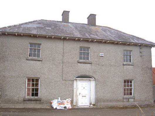 Morganstown Housefarm house · 762 yd
 Graveyard in DysartGraveyard · 1165 yd
 Chapel (in Ruins), GraveyardChurch · 1.2 mi
 Tullydonnell HillMountain / peak · 1.3 mi
 Holy well in CarrickbaggotHoly well · 1.4 mi
 IndicatedCastle, tower house · 1.7 mi
 MonasterboiceEarly monastic site · 4.4 mi