What is recorded here
Castle, unclassified in Greenane belongs to the medieval and early modern castles of Ireland. It stands in Greenane, County Limerick, where human hands shaped the region and memory still moves through stone. The distinction is not decorative; it determines what the site can teach about power, belief, resistance or everyday life.
The precise location of two castles (LI014-103----) in the townland of Greenane, parish of Caherconlish has not been identified. Westropp (1906-7, 94-5) recorded the following details about Greenane Castles; 'Two castles marked. 1540 Shane Burke gave the half seisreach of da Grianán to MacClanchy of Urlann, County Clare (Rental). 1557 F. f. Donnell f. Glangie, of Grenan, got English Liberty for 6s. 8d. (Fi. 1903). 1583 W. Burke held Grenane "duo castell" (Des. R. 37). 1604 Theo. Baron Bourgh of Castleconnell was granted half the C[astle]. of Grenan leghtragh, estate of Don. mac Clanchie (Pat. R.). 1608 He was confirmed in C[astle]. of Griananbeg (Ib.). 1624 Sir W. Parsons was granted Grenan Oughteragh, estate of Owen and Don. Clansy (lb.). Livery granted to Tho. Clancy, and pardon for alienation of C[astle], and bawn of last (Ib.). 1651-4 There was a Cromwellian garrison at Greenane (Acct. R.,7 b). 1655 Lord Brittas held both C[astle].s of Grenane Ighteragh and Huaghtragh (C.S., xxi., pp. 11, 12; D.S.A., 14-18; B.D., p. 129), and Owen, John, Charles, and Simon Clanchy joined him in conveying same to A. Ingram (B.D p. 129). 1666 Confirmed to last (Act. Sett.). 1669 Granted to Duke of York. 1703 Sold to Hollow Blades Company'.
The two castles are as tower like buildings annotated 'Both the Grenans' on the 17th century Down Survey map of Clanwilliam Barony (Hib. Reg.). Two tower house castles are depicted on the 17th century Down Survey map of Caherconlish parish (NLI MS. 718). The 1654-56 Civil Survey of Limerick recorded that Owen Clanchie, English proprietor and a member of the States army, Charles Clancie of Lond, John Clancie Irish Papist and Simon Clancie Irish Papist were the owners of lands which contained the 'Castle town and lands of Grenane voughtragh, the third p[ar]te of the said Castle Bawne and twentie acres of the said lands belongeth to the said Owen' (Simington 1938, 65). The two castles are shown standing in the centre of the townland to the E of glebe land which is depicted on the 1840 ed. OS 6-inch OSi map.
Compiled by: Caimin O'Brien
Date of upload: 2 December 2020
The monument record does not grant public access. Check the route and ask the landowner before entering private land.
- What survives
- Recorded monument
Places near here
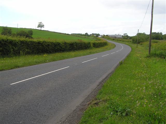 Enclosure in Garryduff (clanwilliam By.)Enclosure · 707 yd
 Holy well in TemplemichaelHoly well · 831 yd
 presbytery/parochial/curate's housepresbytery/parochial/curate's house · 922 yd
 Boskill Ho.Country house · 1054 yd
 Castle-erkin (Site of) partially hachuredCastle, unclassified · 1165 yd
 Ballyvorneen Ho.Castle, tower house · 1.1 mi
 Graveyard in AbingtonGraveyard · 3.2 mi
 KnockseefinMountain / peak · 4.1 mi
 Sliev Felim WayVisitor information · 4.6 mi
 St. Patrick's WellSpring · 4.8 mi
 Kilteely HillMountain / peak · 5.2 mi
 Flat cemetery in Knockainy WestFlat cemetery · 8.1 mi