What is recorded here
Castle, unclassified in Clashacrow stands on the west bank of the Arigna river where it enters the Nuenna valley, yet no stone remains visible. Carrigan recorded a lost castle-field opposite the river, but the structure that named the place has been razed entirely. The land still rises steeply eastward, preserving wide views across both valleys and hinting that a fortress once commanded the water before disappearing without a trace.
On the W bank of the Arigna river, where the river enters Nuenna river valley. Land rises steeply to E, otherwise there are good views across both valleys. According to Carrigan (1905, vol. 2, 264), ‘Opposite this [castle KK013-050----], at the west side of the Arganny, there is another “castle-field”’ but the castle from which it is named has been also razed to the ground’. The castle is not visible at ground level in this general area. The precise location is unknown.
Compiled by: Jean Farrelly
Date of upload: 21 December 2016
The monument record does not grant public access. Check the route and ask the landowner before entering private land.
- What survives
- Recorded monument
Places near here
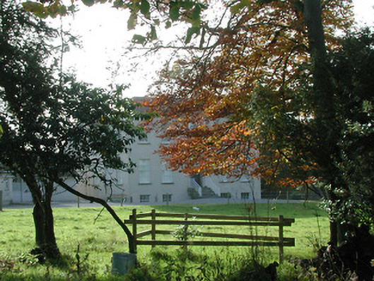 Wellbrook Househouse · 156 yd
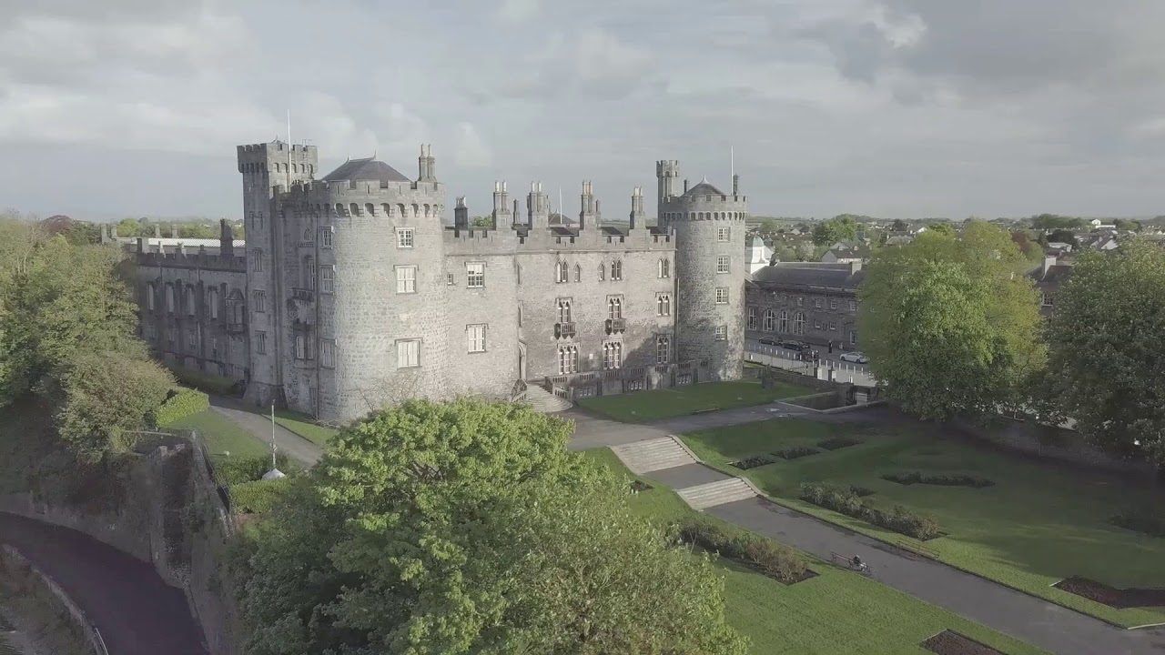 CastleCastle, unclassified · 182 yd
 Enclosure in SartEnclosure · 971 yd
 Enclosure in Clintstown (crannagh By.)Enclosure · 1.0 mi
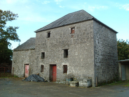 mill (water)mill (water) · 1.1 mi
 Red horse-chestnutRed horse-chestnut · 1.3 mi
 Emma Jane Browne-ClaytonMemorial · 1.4 mi
 Bawn in SartBawn · 1.5 mi
 Freshford LoopWalking route · 1.5 mi
 Brown's WoodWood · 1.5 mi
 Anker's IslandIsland · 6.4 mi
 Paddy ButlerMemorial · 6.6 mi