
What is recorded here
Castle occupies level ground east of the Athgoe Road bend, nestled between two other tower houses. Mortared wall foundations emerged there during 1980s work, hinting at a third residence now hidden beneath grass and memory. The cluster suggests a small defensive neighbourhood rather than a lonely fortress, with Castle completing a forgotten triangle of local power.
In level ground immediately E of bend in Athgoe Road between two other tower houses is the possible site of another marked in 1980s by the foundations of mortared walls (O'Keeffe 1986, 55, Fig.4.1:3). Not visible at ground level.
Compiled by Geraldine Stout
The monument record does not grant public access. Check the route and ask the landowner before entering private land.
- What survives
- Recorded monument
Places near here
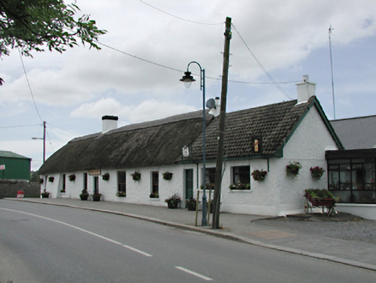 Brian McEvoyhouse · 74 yd
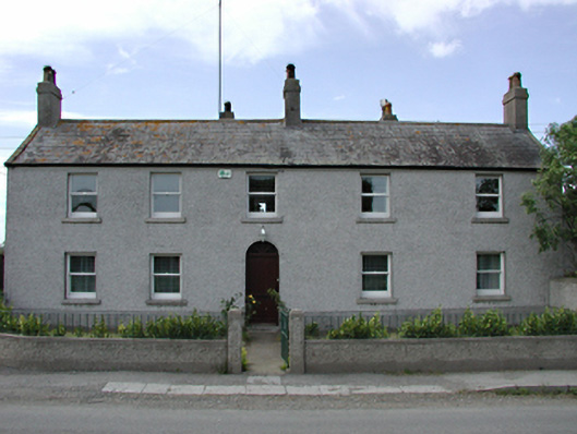 Newcastle Farmfarm house · 123 yd
 CastleCastle, tower house · 126 yd
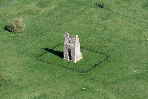 Settlement desertedSettlement deserted, medieval · 145 yd
 IndicatedCastle, motte · 152 yd
 European YewEuropean Yew · 280 yd
 Saint Finian's WellSpring · 383 yd
 OutlinedHoly well · 389 yd
 Athgoe HillMountain / peak · 1476 yd
 Grand Canal WayWalking route · 1.4 mi
 Icehouse WoodWood · 1.5 mi
 Inniscara GalleryGallery · 1.8 mi
Other information
Photo: Credit not shown in the picture search · Rights wording not checked; contact us if this picture should be removed