
What is recorded here
The following description is derived from the published 'Archaeological Inventory of County Carlow' (Dublin: Stationery Office, 1993). In certain instances the entries have been revised and updated in the light of recent research.
Date of upload/revision: 17 July 2007
Marked 'castle' on 1839 'OS 6-inch' map. Aerial photograph (GSI S241) shows cropmarks indicating rectangular enclosures, probably a castle and a bawn.
Straboe Castle was built in the late 16th century by the Butler family, Earls of Ormond, during the Tudor period. It is remembered as a strategic defensive structure in the ongoing English efforts to control the midlands of Ireland.
The monument record does not grant public access. Check the route and ask the landowner before entering private land.
- What survives
- Recorded monument
Places near here
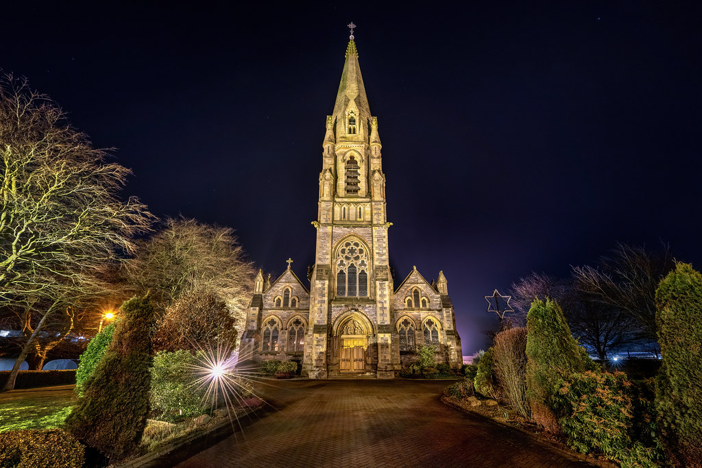 Templeboy Church (in ruins)Church · 412 yd
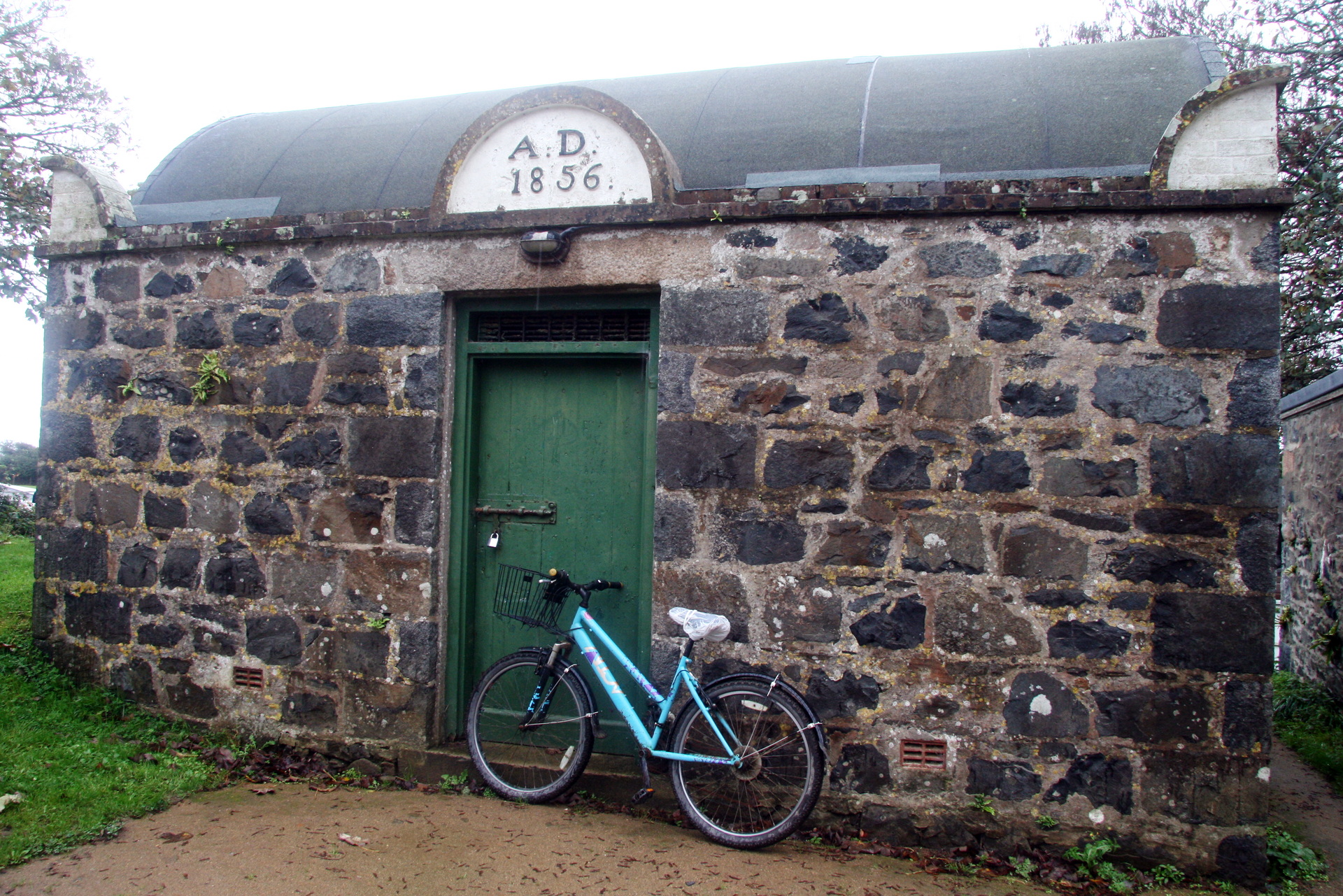 Enclosure in StraboeEnclosure · 853 yd
 Church (in ruins), Cross, GraveyardChurch · 1022 yd
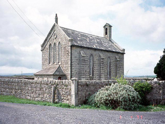 Kineagh Churchchurch/chapel · 1495 yd
 EnclosureEnclosure, large enclosure · 1755 yd
 Church (in Ruins), GraveyardChurch · 1.2 mi
 OutlinedCastle, unclassified · 1.3 mi
 Duckett's GroveHeritage attraction · 1.6 mi
 Site of CastleCastle, unclassified · 1.7 mi
 Cork oakCork oak · 2.4 mi
 European YewEuropean Yew · 2.7 mi
 Franciscan FriaryHeritage attraction · 4.1 mi
Other information
Photo: Credit not shown in the picture search · Rights wording not checked; contact us if this picture should be removed