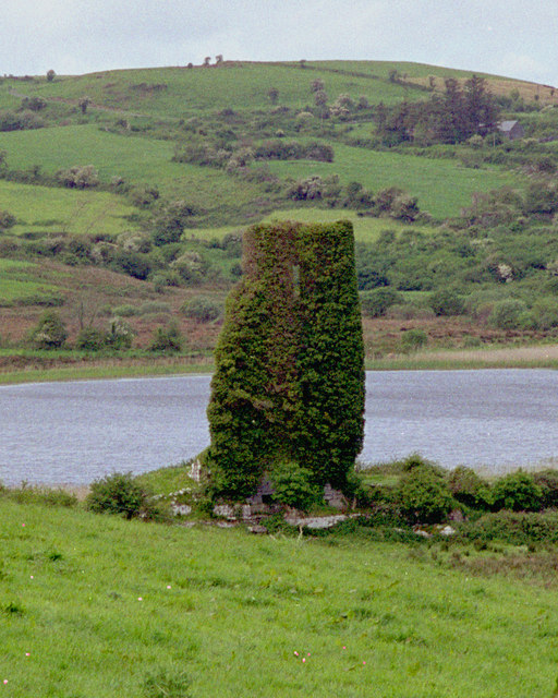
What is recorded here
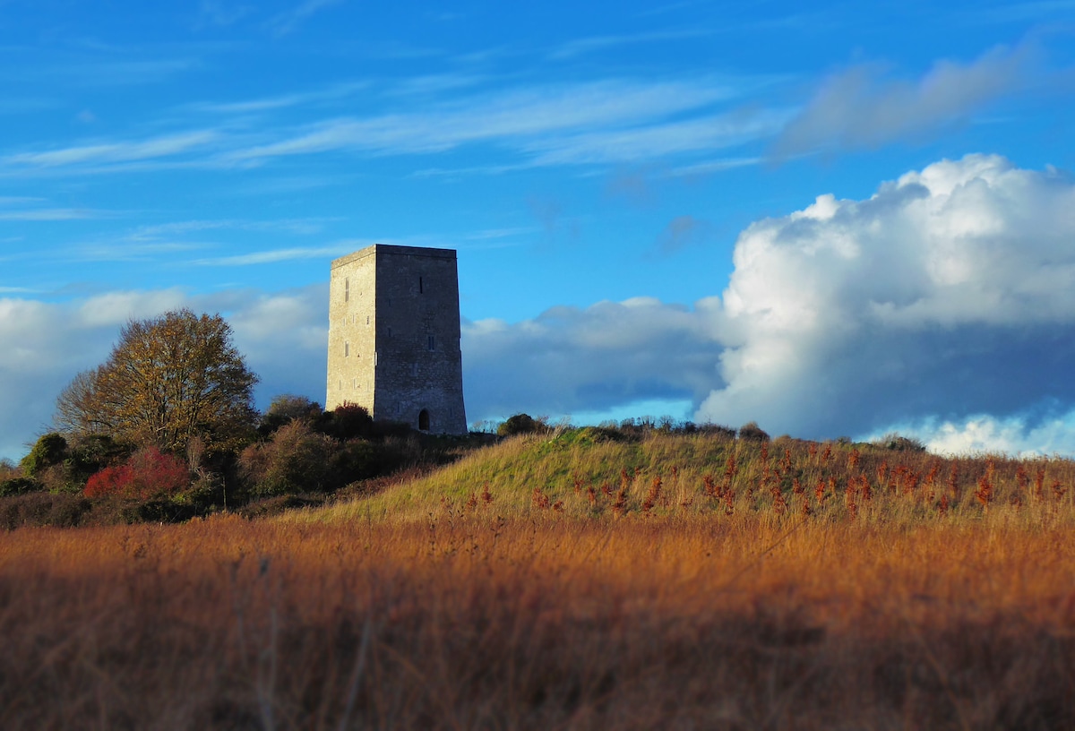
Situated on top of high ground in upland area. Circular tower (diam 9.2m; wall T 1.7m) four storeys high built with roughly coursed limestone rubble with base batter evident. The E side of the tower is destroyed, with evidence of wooden floors carried on stone corbels with punch dressing and drafted margins. There are two gun loops at ground floor with a mural passage leading to a garderobe in the SW angle at first floor level. The top two storeys are covered in ivy making examination difficult. Evidence of two fireplaces at SW and NW faces with two surviving tall rectangular shaped chimney stacks protruding from the top of the tower. The top two floors have a square interior plan with a circular exterior plan unlike the bottom two floors which are circular both inside and outside. There is evidence of a bawn wall attached to SW side of tower which returns NE where it is defined by grass covered rubble and would have returned onto the NE side of the tower. Overall the bawn (OF038-016002-) would have measured approximately 29.6m N-S by 24m E-W. Later 19th century demesne walls can be seen to the N with a 19th-century house built to the SE directly on line with the original bawn wall. O' Carroll castle (Cooke 1875, 186).
The above description is derived from the published 'Archaeological Inventory of County Offaly' (Dublin: Stationery Office, 1997). In certain instances the entries have been revised and updated in the light of recent research.
Date of upload: 23 May 2011
Built in the late medieval period, likely by a local Gaelic lord or clan for defensive purposes. The castle is remembered for its well-preserved circular tower, reflecting early Irish stone tower house architecture.
The monument record does not grant public access. Check the route and ask the landowner before entering private land.
- What survives
- Recorded monument
Places near here
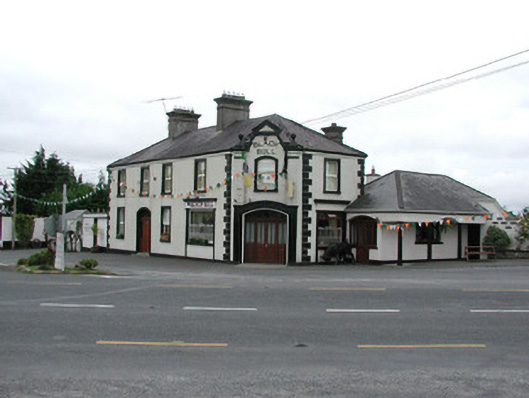 Black Bullhouse · 840 yd
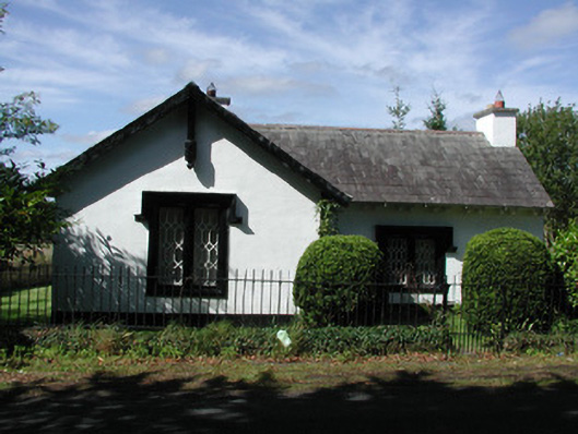 Sharavogue Housegate lodge · 1295 yd
 IndicatedCairn, unclassified · 1437 yd
 BarrowBarrow, ring-barrow · 1552 yd
 Clonbeg Castle in ruinsCastle, unclassified · 1.1 mi
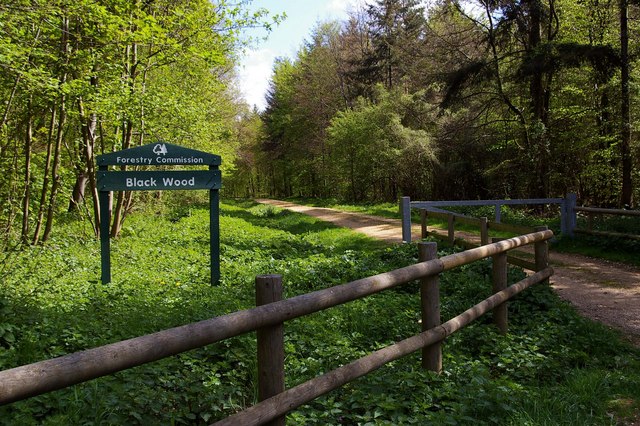 Black WoodForest · 1.7 mi
 Big WoodWood · 2.1 mi
 Waterfall PointViewpoint · 4.5 mi
 Birr Heritage CentreMuseum · 4.5 mi
 Black Castle (Site of)Castle, motte · 4.5 mi
 The Great Telescope 'Leviathan'Heritage attraction · 4.7 mi
 James Franklin FullerMemorial · 4.7 mi
Other information
Photo: Credit not shown in the picture search · Rights wording not checked; contact us if this picture should be removed