What is recorded here
Castle, motte is a flat-topped mound in Moynalty, County Meath, where a missing bailey may have stretched southeast beside the ridge. The Owenmore or Moynalty River runs fifty metres to the southwest, giving the place a sharp edge of water and shadow. Its base spans thirty-six metres, rising from four to six metres, large enough to hold a household, a guard room and the kind of stubborn pride that still animates forgotten castle land.
Situated on a NW-SE ridge within woodland with a NW-SE section of the Owenmore or Moynalty River c. 50m to the SW. Flat-topped mound (dims of top 16m NE-SW; 12m NW-SE; dim. of base 36m NE-SW; H 4.3m at NE to 6m at SW). A bailey may have existed to the SE (dims c. 39m NW-SE; c. 31m NE-SW).
The above description is derived from the published 'Archaeological Inventory of County Meath' (Dublin: Stationery Office, 1987). In certain instances the entries have been revised and updated in the light of recent research.
Date of upload: 10 July 2007
Built in the 13th century, likely by Anglo-Norman settlers expanding into the Moynalty area. The motte is important as a remnant of early medieval military and territorial control in the region.
The monument record does not grant public access. Check the route and ask the landowner before entering private land.
- What survives
- Recorded monument
Places near here
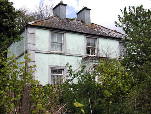 Riverviewhouse · 96 yd
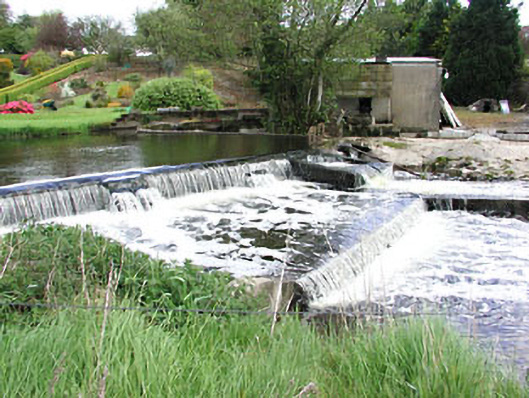 weirweir · 172 yd
 Moynalty Steam Threshing MuseumMuseum · 410 yd
 Moynalty Hedge SchoolArchaeological place · 528 yd
 Reillystown FortArchaeological place · 556 yd
 Saltford FortWood · 588 yd
 Blockisland WoodWood · 615 yd
 Castle (in Ruins)Castle, unclassified · 1613 yd
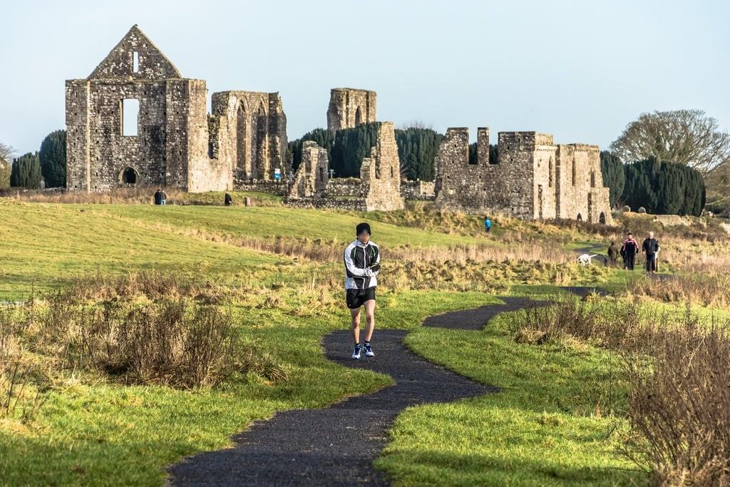 NewtownMountain / peak · 1.2 mi
 CastleCastle, motte · 2.0 mi
 MaperathMountain / peak · 2.4 mi
 John Mac MahonMemorial · 2.7 mi