What is recorded here
Situated on flat pasture in an upland area with good views. According to the Civil Survey (1654-6) the proprietor of the castle was Theobald Butler of Killoskehane and the ruins were described as 'a castle, a stone house in repayre & ye ruines of a decayed mill a garden and sevall cabbins there runns a little brooke neere the house' (Simington 1931, vol. 1, 23). A well-preserved seventeenth-century tower house (ext. dims. 10m NW-SE; 12m NE-SW; wall T 2m) three storeys high with a six-bay, two-storey early eighteenth-century house added to the W end, both of which were re-modelled in the nineteenth century. The tower house, with external base-batter, was accessed at the N end of E wall which led to dog-legged wooden stairs from which the upper floors could be reached. All main chambers were originally lit by windows set into deep embrasures which have been heavily modified. A mural passage at first-floor level in the E wall gives access to a garderobe in the centre of the E wall. A doorway in the SE angle of the second floor leads to a battlemented wall-walk with crow-stepped gables. A datestone on the front of the house stating 'Built 1600, rebuilt 1865' dates the construction of the tower house and modifications made to both buildings (Craig 1972, 46; Stout 1984, 133-4; Bence-Jones 1988, 171, 298).
The above description is derived from 'The Archaeological Inventory of County Tipperary. Vol. 1 - North Tipperary' compiled by Jean Farrelly and Caimin O'Brien (Dublin: Stationery Office, 2002). In certain instances the entries have been revised and updated in the light of recent research.
Date of upload/revision: 22 September 2008
The castle at Killoskehan was held by Theobald Butler in the mid-17th century, as recorded in the Civil Survey of 1654–56. It is remembered as part of the Butler family's extensive landholdings in Ireland, reflecting their regional influence during the medieval and early modern periods.
The monument record does not grant public access. Check the route and ask the landowner before entering private land.
- What survives
- Recorded monument
Places near here
 Killoskehan Castlegate lodge · 338 yd
 IndicatedEnclosure · 796 yd
 RIC barracksRIC barracks · 1450 yd
 Cloghaneena Castle (in ruins)Castle, tower house · 1650 yd
 Barnane Ho.Castle, tower house · 1.4 mi
 Fulacht fia in AughnaheelaFulacht fia · 1.4 mi
 Kilvilcorris BogForest · 2.0 mi
 GortagarryMountain / peak · 2.2 mi
 Devil's Bit MountainMountain / peak · 2.9 mi
 Morris's GroveForest · 3.2 mi
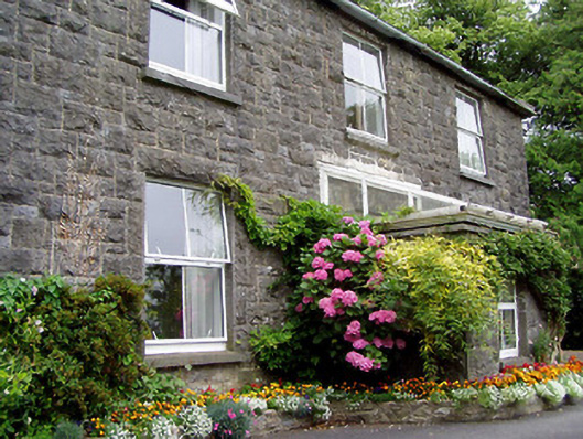 Kilfithmone Rectoryrectory/glebe/vicarage/curate's house · 1488 yd
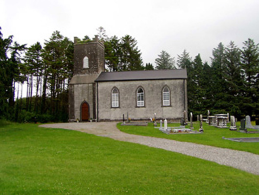 Kilfithmone Churchchurch/chapel · 1.0 mi