What is recorded here
A one storey gabled house with two chimneys at the centre of Killary (33) in Killary parish and Slane barony is depicted on the Down Survey (1656-8) barony map (http://downsurvey.tcd.ie/). According to the Civil Survey (1654-6) George Fleming owned 212 acres at Killary in 1640, and ‘an old stone house and a church’…
Read the whole record
A one storey gabled house with two chimneys at the centre of Killary (33) in Killary parish and Slane barony is depicted on the Down Survey (1656-8) barony map (http://downsurvey.tcd.ie/). According to the Civil Survey (1654-6) George Fleming owned 212 acres at Killary in 1640, and ‘an old stone house and a church’ were on the property (Simington 1940, 354). The church is probably the parish church (ME012-020----), which is not depicted on the Down Survey map. The castle is depicted as a small square building (dims c. 5m NE-SW; c. 5m NW-SE) on the 1836 ed. of the OS 6-inch map. A slight rise in the ground is the only indication of the monument in pasture. See the attached section from the Down Survey barony map (N at right back), courtesy of the National Library of Ireland
The above description is derived from the published 'Archaeological Inventory of County Meath' (Dublin: Stationery Office, 1987).
From the National Monuments Service (Archaeological Survey of Ireland) record ME012-028
Places near here
Photo credits
- National Inventory of Architectural Heritage
- Sitomon, Wikimedia Commons · CC BY-SA 2.0
- Wanfried-Dublin, Wikimedia Commons · CC BY-SA 4.0
- Kieran Campbell, Geograph · Creative Commons Attribution-ShareAlike 2.0
- Olivier BEZES, Wikimedia Commons · CC BY 2.5
- Garry Dickinson, Geograph · CC BY-SA 2.0
- Jamie Carroll, Geograph · CC BY-SA 2.0
- Hopmans at nl.wikipedia, Wikimedia Commons · CC BY-SA 3.0
- Sitomon, Wikimedia Commons · Public domain
- Jan van Huchtenburgh, Wikimedia Commons · Public domain
- Colin Park, Geograph · CC BY-SA 2.0
 milestone/milepost1.1 mi
 European Yew1.2 mi
 Druids AltarPortal tomb · 1.2 mi
 Grave YardGraveyard · 1.4 mi
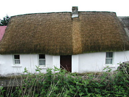 farm house1.9 mi
 Lebanon Cedar3.2 mi
 CastleCastle, tower house · 4.5 mi
 Slane CastleCastle, unclassified · 6.2 mi
 Mellifont AbbeyHeritage attraction · 8.2 mi
 KnowthArchaeological place · 8.6 mi
_tussen_Jacobus_II_en_Willem_III,_12_juli_1690_Rijksmuseum_SK-A-605.jpeg/250px-De_slag_aan_de_Boyne_(Ierland)_tussen_Jacobus_II_en_Willem_III,_12_juli_1690_Rijksmuseum_SK-A-605.jpeg "Photo: Jan van Huchtenburgh, Wikimedia Commons · Public domain") Battle of the BoyneMajor battlefield · 10 mi
Battle of the BoyneMajor battlefield · 10 mi Battle of the Boyne Visitor CentreMuseum · 10 mi
More castles and forts in County Meath · All of County Meath

What do you know about this place?Tap to add a comment or ask a question