What is recorded here
Situated on pasture immediately N of Ballinard House, depicted as a rectangular-shaped building with lime-kiln immediately to W on 1840 ed. OS 6-inch map. Only the N gable of the castle is shown upstanding on the 1897 ed. OS 25-inch map. Earthworks of the castle site are visible today on Digital Globe aerial photographs. Ballinard Castle described in 1943 as following 'There is now no trace of this castle. Westropp gives its successive owners from 1287 until the middle of the eighteenth century. Lewis says that the last structure on the site was built in the 15th century by the Geraldines' (O'Kelly 1943, 170). Castle described by Westropp (1906-7, 187) as following; '1251 Catherussoc (Plea. R.). 1287 T. de Clare leased it to H. f. John (C.S.P.I.). 1302 Adam f. Philip held it (Pipe R.). 1325 Ric. and Avelina de Midia to reply to him about Cathyryssok (Plea R., 127). 1583 Maur. Mac Shane held Ballynahard C[astle]. and vill (Des. R., 37b). 1657 Capt. Garrott FitzGerald held Ballynahard (C.S., xxxi., p. 26). This family held it till late in the following century. Fabric - The C[astle]. was standing in 1827, but was levelled before 1840. It stood to the north of the church [LI032-093001-].
Situated on pasture immediately N of Ballinard House, depicted as a rectangular-shaped building with lime-kiln immediately to W on 1840 ed. OS 6-inch map. Only the N gable of the castle is shown upstanding on the 1897 ed. OS 25-inch map. Earthworks of the castle site are visible today on Digital Globe aerial photographs. Ballinard Castle described in 1943 as following 'There is now no trace of this castle.…
From the National Monuments Service (Archaeological Survey of Ireland) record LI032-090
The monument record does not grant public access. Check the route and ask the landowner before entering private land.
- What survives
- Recorded monument
Places near here
Photo credits
- National Inventory of Architectural Heritage
- Mike Searle, Wikimedia Commons · CC BY-SA 2.0
- Colin Park, Geograph · CC BY-SA 2.0
- Hywel Williams, Geograph · Creative Commons Attribution-ShareAlike 2.0
- CaitNi, Wikimedia Commons · CC BY-SA 4.0
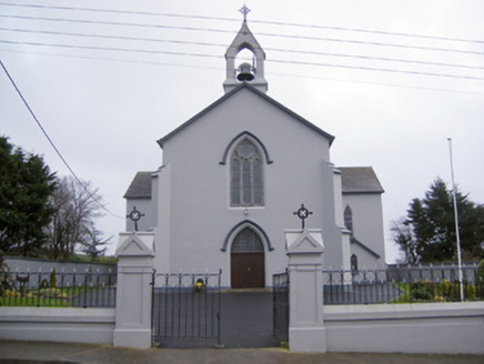 Catholic Church of the Sacred HeartChurch/chapel · 653 yd
 Cloughansoun BridgeBridge · 1219 yd
 mausoleum1.4 miCastle (in ruins)Castle, unclassified · 1.4 mi
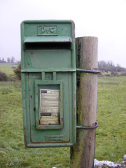 post box1.6 mi
 Knockbologue HouseHouse · 1.6 miSt. Patrick's WellSpring · 2.6 mi
 Castle (in ruins)Castle, tower house · 6.9 mi
 SlievereaghMountain / peak · 10 mi
 Grave YardGraveyard · 10 mi
 Ladys WellHoly well · 11 mi
 CarrigeenamronetyMountain / peak · 16 mi
More castles and forts in County Limerick · All of County Limerick
What do you know about this place?