
What is recorded here
On a low rise on the floodplains of the N shore of Lough Ree with good views in all directions. This castle (ext. dims. 20.6m E–W; 10.5m N–S; wall T 1.7m) consists of the ruins of a long rectangular building (int. dims. 17.2m E–W; 7.1m N–S; max. H 5m at NE angle) constructed of roughly coursed rubble limestone with a…
Read the whole record
From the National Monuments Service (Archaeological Survey of Ireland) record LF026-015
Places near here
Photo credits
- Maker not stated on source page, tr.pinterest.com
- National Inventory of Architectural Heritage
- Maker not stated on source page, www.pinterest.com
- Maker not stated on source page, commons.wikimedia.org
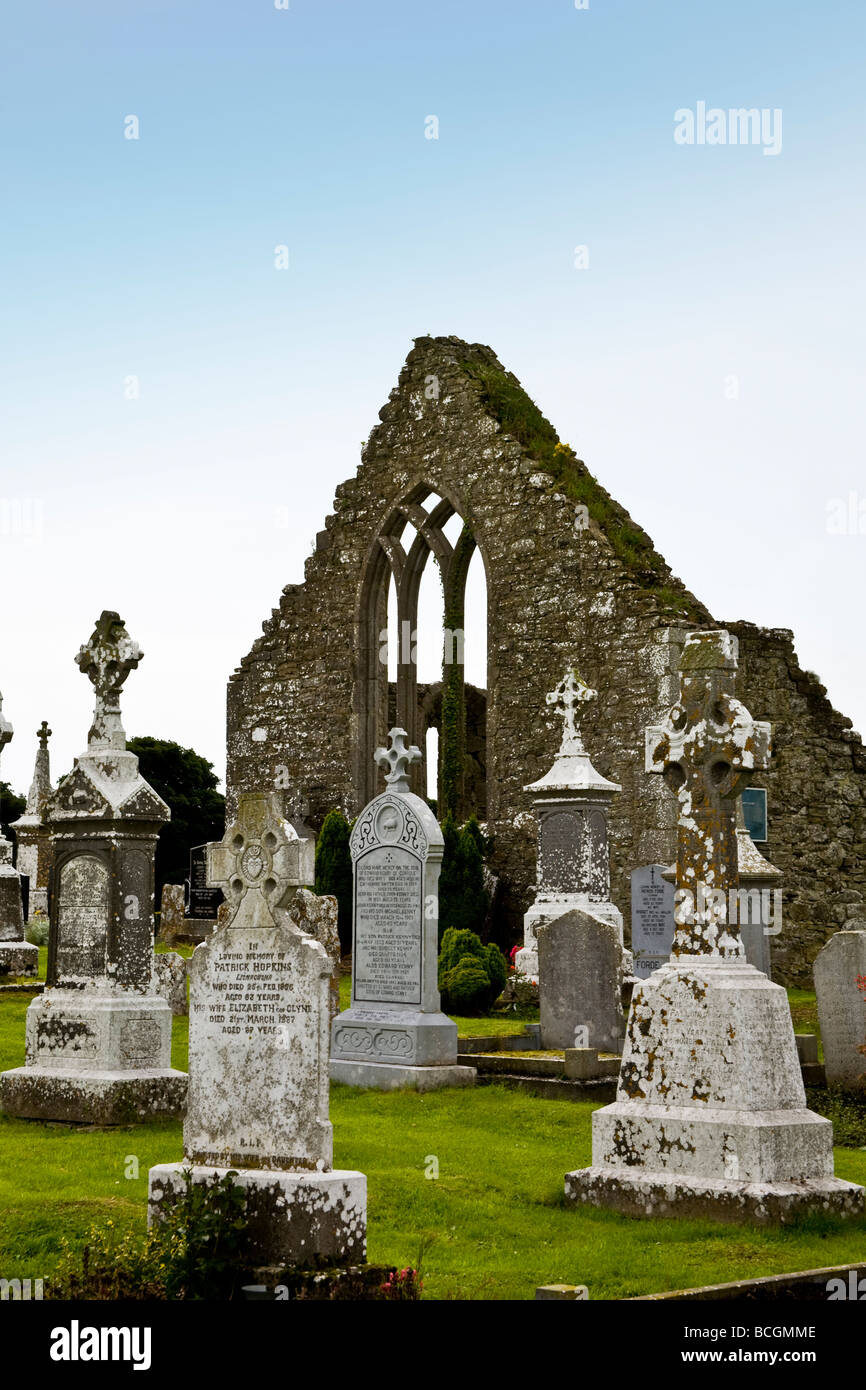
- Maker not stated on source page, www.alamy.com
- Maker not stated on source page, ru.pinterest.com
- David Baird, Wikimedia Commons · CC BY-SA 2.0
- David Baird, Geograph · CC BY-SA 2.0
- Maker not stated on source page, www.flickr.com
- Maker not stated on source page, jp.pinterest.com
 Fairy fort / earthen ringfort in Corrool (kenny)Fairy fort / earthen ringfort · 1198 yd
Explorer Tom Fairy fort / earthen ringfort in Corrool is called 'Kenny' because its name means 'the place where my bad decisions…
 dovecote/pigeon house/aviary1353 yd
Explorer Tom Dovecote in Portanure has six rows of pigeon holes but zero actual pigeons to show for it. The castle behind it is…
 Church (in Ruins)Church · 1491 yd
Explorer Tom Church in Inchbofin inspired a bad poem where the rhymes were all about wet cows and regret. It’s gone now, which is…
 Enclosure in PortanureEnclosure · 1503 yd
Explorer Tom Portanure’s enclosure refuses to fall down, even though it’s not on old maps. It’s stubbornly oval in low-lying…
 Graveyard in InchbofinGraveyard · 1508 yd
Explorer Tom Graveyard in Inchbofin, County Westmeath is haunted by a ghost who is too lazy to actually haunt it, so he just sits in…
 Inscribed stone in InchbofinInscribed stone · 1508 yd
Explorer Tom Inscribed stone in Inchbofin is just a chunk of rock with two shallow lines that used to sharpen tools. Tom claims a…
 Architectural fragment in Saints IslandArchitectural fragment · 1689 yd
Explorer Tom Architectural fragment in Saints Island ended up in the wrong place because it got lost on the way to Rome. It’s a bit…
 Saints' Island GraveyardGraveyard · 1707 yd
Explorer Tom Saints' Island Graveyard in Longford is playing hard to get, hiding behind some reeds like it’s shy. Someone definitely…
 InchbofinIslet · 1.1 mi
Explorer Tom Inchbofin in County Westmeath would write on its dating profile: 'Island with history, no drama.' It’s the island of…
 Leveret IslandIslet · 1.2 mi
Explorer Tom Leveret Island would tell you it’s a fancy yacht if you asked nicely enough, I reckon. It’s actually just sitting there…
 CastleCastle, unclassified · 1.9 mi
Explorer Tom Castle in Collum has a curse that only affects people who don’t wave hello as they pass by on the road. It overlooks…
 Elfeet CastleCastle, tower house · 2.7 mi
Explorer Tom Elfeet Castle is secretly proud of its potato stash from 1621, which it still hoards under the floorboards. It’s a…
More castles and forts in County Longford · All of County Longford

What do you know about this place?Tap to add a comment or ask a question