
What is recorded here
Situated in an old farmyard approximately 12m N of a dwelling house. Ringfort (WM018-108----) and house site (WM018-109----) are c. 115m to N and NE, respectively. Depicted on the 1837 ed. OS 6-inch map as the outline of a rectangular-shaped structure, annotated ‘Castle’, with a farm building running S off the E end…
Read the whole record
From the National Monuments Service (Archaeological Survey of Ireland) record WM018-110
Places near here
Photo credits
- National Inventory of Architectural Heritage
- Kieran Campbell, Geograph · CC BY-SA 2.0
- Maker not stated on source page, www.lovefromscotland.co.uk
- Maker not stated on source page, ru.pinterest.com
- Maker not stated on source page, commons.wikimedia.org
- Maker not stated on source page, www.tripadvisor.ca
- Maker not stated on source page, nl.pinterest.com
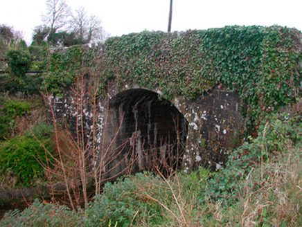 Coolnahay BridgeBridge · 738 yd
Explorer Tom Coolnahay Bridge has a strict policy about nosey neighbours: you can look, but if you touch the masonry, it’ll probably…
 26th LockLock keeper's house · 751 yd
Explorer Tom 26th Lock keeper's house in Coolnahay swears it’s actually three hundred years old and has seen kings come and go, even…
 WestmeathVisitor information · 764 yd
Explorer Tom Westmeath itself was clearly designed by a mother-in-law who liked her paths narrow and her opinions sharp. It’s got…
 harbour/dock/port815 yd
Explorer Tom Harbour in Coolnahay is a canal port with grand ambitions and a very serious face. It’s right at the summit level of…
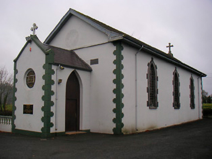 Catholic Church of the Little Flower and Our Lady of Good CounselChurch/chapel · 1166 yd
Explorer Tom The Catholic Church of the Little Flower thinks the road leading to it is too narrow for any sensible car, let alone a…
 Standing stone in Parcellstown (moygoish By.)Standing stone · 1511 yd
Explorer Tom Standing stone in Parcellstown is being used as a scratching post by cattle, so it’s basically the dog that’s in charge…
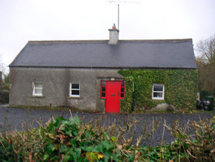 Bushmills CottageHouse · 1.0 mi
Explorer Tom Bushmills Cottage in Glascarn is so modest it’s almost shy, but it’s got a boundary wall that says ‘don’t touch’ louder…
 Glascarn HouseHouse · 1.0 mi
Explorer Tom Glascarn House in Glascarn has a curse that only affects people who don't wave back at it when they drive past. It’s…
 Kenny GraveyardCemetery · 1.1 mi
Explorer Tom Kenny Graveyard has definitely heard the local sheep’s opinions on where they should be buried, and I doubt they’re…
 Standing stone in Tuitestown (moyashel & Magheradernon By.)Standing stone · 1.1 mi
Explorer Tom Standing stone in Tuitestown has a New Year's resolution to stand up straighter, but gravity keeps winning the argument…
 Sonna Church CemeteryCemetery · 1.9 mi
Explorer Tom Sonna Church Cemetery is absolutely sick of people asking if they can 'just pop in' without checking the gate. I reckon…
 CastleCastle, unclassified · 2.1 mi
Explorer Tom Davidstown Castle is currently being managed by a fox who thinks he's the landlord and charges entry in stolen…
More castles and forts in County Westmeath · All of County Westmeath

What do you know about this place?Tap to add a comment or ask a question