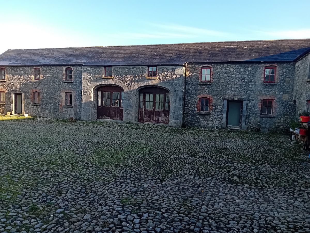
What is recorded here
Situated in an old farmyard approximately 12m to N of a dwelling house. A low broad bank runs S from the SW corner of Balleagny Castle (WM018-110----) and extends as far as a wide ditch running NW-SE which may be a fosse. This possible fosse extends from the modern field fence SW of the castle to the S of the castle where it appears to turn to run N towards the farmyard. This bank and fosse may form part of the castle defences or bawn but it is difficult to be certain due to the presence of the post-1700 farmyard buildings. The post-1700 farmyard appears to have been replaced by a modern dwelling house.
Compiled by: Alison McQueen, Vera Rahilly and Caimin O’Brien
Date of upload: 08 February 2019
A local castle; wider significance not recorded.
The monument record does not grant public access. Check the route and ask the landowner before entering private land.
- What survives
- Recorded monument
Places near here
 27th Lock Keep's HouseRuins · 501 yd
 Enclosure in BalleagnyEnclosure · 503 yd
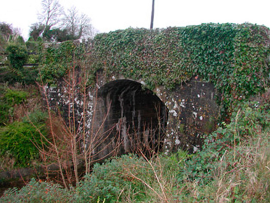 Coolnahay Bridgebridge · 737 yd
 WestmeathVisitor information · 763 yd
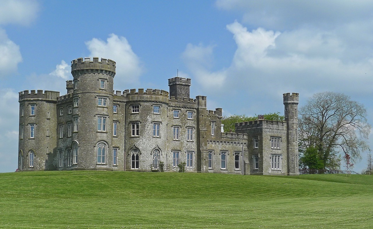 CastleHouse, fortified house · 1.0 mi
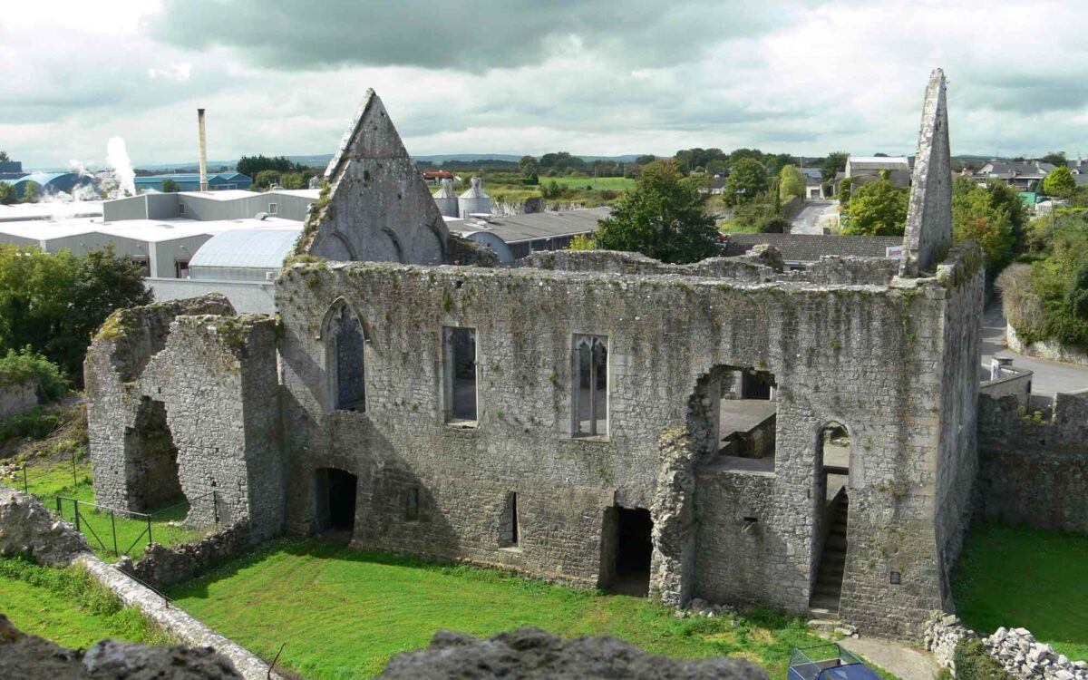 Site of CastleCastle, unclassified · 1.1 mi
 Cross in Tuitestown (moyashel & Magheradernon By.)Cross · 1.1 mi
 Ancient Ring FortWood · 2.3 mi
 Carrickphilbin IslandIslet · 3.7 mi
 Srudarra IslandIslet · 4.1 mi
 Hill of UisneachMountain / peak · 4.6 mi
 Baronstown ForestWood · 4.8 mi
Other information
Photo: Credit not shown in the picture search · Rights wording not checked; contact us if this picture should be removed