What is recorded here
Situated on a slight SW-facing slope with Arodstown church (ME043-015----) c. 150m to the W. According to the Civil Survey (1654-6) Peter Barnwall of Arrottstown in Kilmore parish owned 305 acres there in 1640, and on the premises were ‘a castle and some cottages’ (Simington 1940, 149). This was a rectangular…
Read the whole record
Situated on a slight SW-facing slope with Arodstown church (ME043-015----) c. 150m to the W. According to the Civil Survey (1654-6) Peter Barnwall of Arrottstown in Kilmore parish owned 305 acres there in 1640, and on the premises were ‘a castle and some cottages’ (Simington 1940, 149). This was a rectangular structure (ext. dims 10.6m plus NW-SE; 8.7m NE-SW) with a projecting square tower (ext. dims c. 3.5m NE-SW; 2.75m NW-SE) at the S angle. There was a modern doorway in the SE wall and two double-splay lights on the NE wall at the ground floor. The ceiling was supported on corbels in the long walls. A lintelled doorway (Wth 0.7m) leads from the main chamber to the S tower (int. dims 2.6m NW-SE; 2m NE-SW) that had a low barrel-vault with a single double-splay light in the SE wall. The first floor under the NW-SE barrel-vault may have been a loft as it has no features except a round-headed doorway leading to the S tower, which also has a barrel-vault. The S tower has a double-splay light in the SE wall and a large opening in the NE wall that could have provided the main entrance to the structure. There was no trace of any upper floors and it appears to have been removed since 1969 (Bing c. 2013).
From the National Monuments Service (Archaeological Survey of Ireland) record ME043-016
Places near here
Photo credits
- National Inventory of Architectural Heritage
- Willow, Wikimedia Commons · CC BY 2.5
- J. Stirling Coyne, Wikimedia Commons · Public domain
- C O'Flanagan, Geograph · CC BY-SA 2.0
- Thomas Nugent, Geograph · CC BY-SA 2.0
- C O'Flanagan, Geograph · Creative Commons Attribution-ShareAlike 2.0
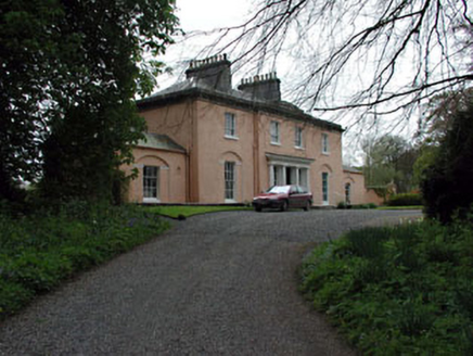 Galtrim HouseCountry house · 1.8 mi
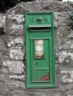 post box1.9 mi
 European ash2.7 mi
 MullaghMountain / peak · 2.9 miRailway Woods (North)Forest · 3.2 mi
 Dangan CastleCastle, tower house · 3.4 miLarchil Arcadian GardensHeritage attraction · 3.6 mi1798 MemorialMemorial · 3.6 mi
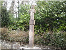 Dunsany CrossCross, Wayside cross · 3.9 mi
 Killeen CastleCastle, tower house · 4.3 miKilgar GardensHeritage attraction · 4.5 mi
 IndicatedGraveyard · 4.5 mi
More castles and forts in County Meath · All of County Meath
What do you know about this place?Tap to add a comment or ask a question