
What is recorded here
In commanding position, enclosing hill-top on E-W ridge. Bordered to N by barony boundary between E Muskerry and Kinalea; barony of Kinalmeaky c. 1km to W; barony of East Carbery (East div.) c. 2.25km to S. Oval area (c. 250m E-W; c. 200m N-S) enclosed by pair of earth and stone banks (H 0.7m) with intervening fosse (D 1.6m). Ó Ríordáin (1935, 49) noted stone facing on outer side of fosse. Second line of fortification c. 48m outside; externally stone faced earthen bank (H 2.45m) described by Ó Ríordáin as stone-faced on both sides with a 'slight depression or trench inside'. Four radial field fences connect outer and inner fortifications; eight in Ó Ríordáin's time. Interior overgrown with gorse; some areas between fortifications in pasture, remainder overgrown.
See Excavations 2004, p. 48, no. 219.
The above description is derived from the published 'Archaeological Inventory of County Cork. Volume 2: East and South Cork' (Dublin: Stationery Office, 1994). In certain instances the entries have been revised and updated in the light of recent research.
Date of upload/revision: 14 January 2009
The monument record does not grant public access. Check the route and ask the landowner before entering private land.
- What survives
- Recorded monument
Places near here
 Cashel HillfortArchaeological place · 10 yd
 Boulder-burial in RusselhillBoulder-burial · 932 yd
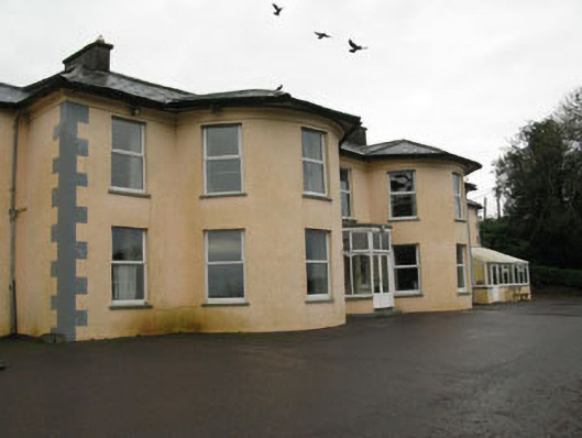 Upton Housecountry house · 1075 yd
 Eastern Lodgegate lodge · 1154 yd
 Graveyard in KilnagnadyGraveyard · 1501 yd
 Sunday WellSpring · 1.1 mi
 Ballyhandle Castle (in Ruins)Castle, Anglo-Norman masonry castle · 1.7 mi
 Charlie Hurley MemorialMemorial · 2.8 mi
 Dromkeen WoodWood · 2.9 mi
 Dromkeen Wood Nature ReserveForest · 3.1 mi
 Carbury's WellSpring · 4.5 mi
 Shippool CastleCastle · 5.0 mi
Other information
Photo: Credit not shown in the picture search · Rights wording not checked; contact us if this picture should be removed