What is recorded here
Mud and memory belong to everybody, but gossip and bullshit belong to nobody. They want to own the children, dirty them, stop them flying. That is not love. That is a cage.
In reclaimed pasture. Named 'Carrigeen Fort' and indicated as an oval enclosure (overall dims. c. 55m N-S; c. 44m E-W) on the 1st (1839) ed. OS 6-inch map and on the 1900-01 revision, in an area of rough pasture with furze. A townland boundary is indicated running NW-SE along the NE perimeter. The monument is visible on an aerial photograph taken in 1971 (CUCAP BGO038, 19 July 1971).
A field inspection in 1989 described it as a roughly oval raised area (int. dims. 35m N-S; 30m E-W) enclosed by inner bank (Wth 4m; H 1-1.5m), intervening fosse (Wth 6m; D 1.2m) and outer bank (Wth 5m; H 2m), with traces of a stone structure in the interior. Since 1989 the monument has been levelled. The fosse is clearly visible as a cropmark on satellite imagery (Google Earth imagery date 14 July 2018), showing a subrectangular enclosure (dims. c. 47m N-S; c. 40m E-W) with a straight S and W side with curving angles and a curve defining the NE-E-SE.
See attached:
KK029-015----_01 aerial photograph (CUCAP BGO038, 19 July 1971)
KK029-015----_02 Google Earth satellite imagery, date 14 July 2018
Compiled by: Jean Farrelly
Date of upload: 8 March 2022
The monument record does not grant public access. Check the route and ask the landowner before entering private land.
- What survives
- Recorded monument
Places near here
 IndicatedEnclosure · 765 yd
 Coolroe Househouse · 1459 yd
 Freney's WellSpring · 1614 yd
 Barleagh WoodForest · 1678 yd
 Gorlough WoodForest · 1.1 mi
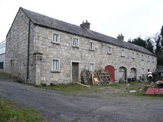 worker's houseworker's house · 1.2 mi
 CastleCastle, motte · 1.3 mi
 Tinahinch Castle (in Ruins)Castle, tower house · 1.4 mi
 St. Michaels Church (in Ruins), GraveyardChurch · 1.5 mi
 Monastic MillsMemorial · 1.5 mi
 Brandon HillMountain / peak · 1.6 mi
 Ladys WellHoly well · 1.6 mi
Other information
Photo: Credit not shown in the picture search · Rights wording not checked; contact us if this picture should be removed