
What is recorded here
Within a small field overgrown with trees and scrub. Indicated on the 1st (1839) ed. OS 6-inch map as a circular enclosure (diam. c. 26m) which appears to be truncated by a field boundary running E-W along the S perimeter and another running NW-SE along the SW perimeter. On the 25-inch OS map, based on the 1900-01 revision of the 6-inch map, these field boundaries are indicated as a stream flowing southeastward. On the later map editions the enclosure is shown as being more angular, subsquare enclosure (dims. c. 20m N-S; c. 24m E-W).
Compiled by: Jean Farrelly
Date of upload: 8 March 2022
The monument record does not grant public access. Check the route and ask the landowner before entering private land.
- What survives
- Recorded monument
Places near here
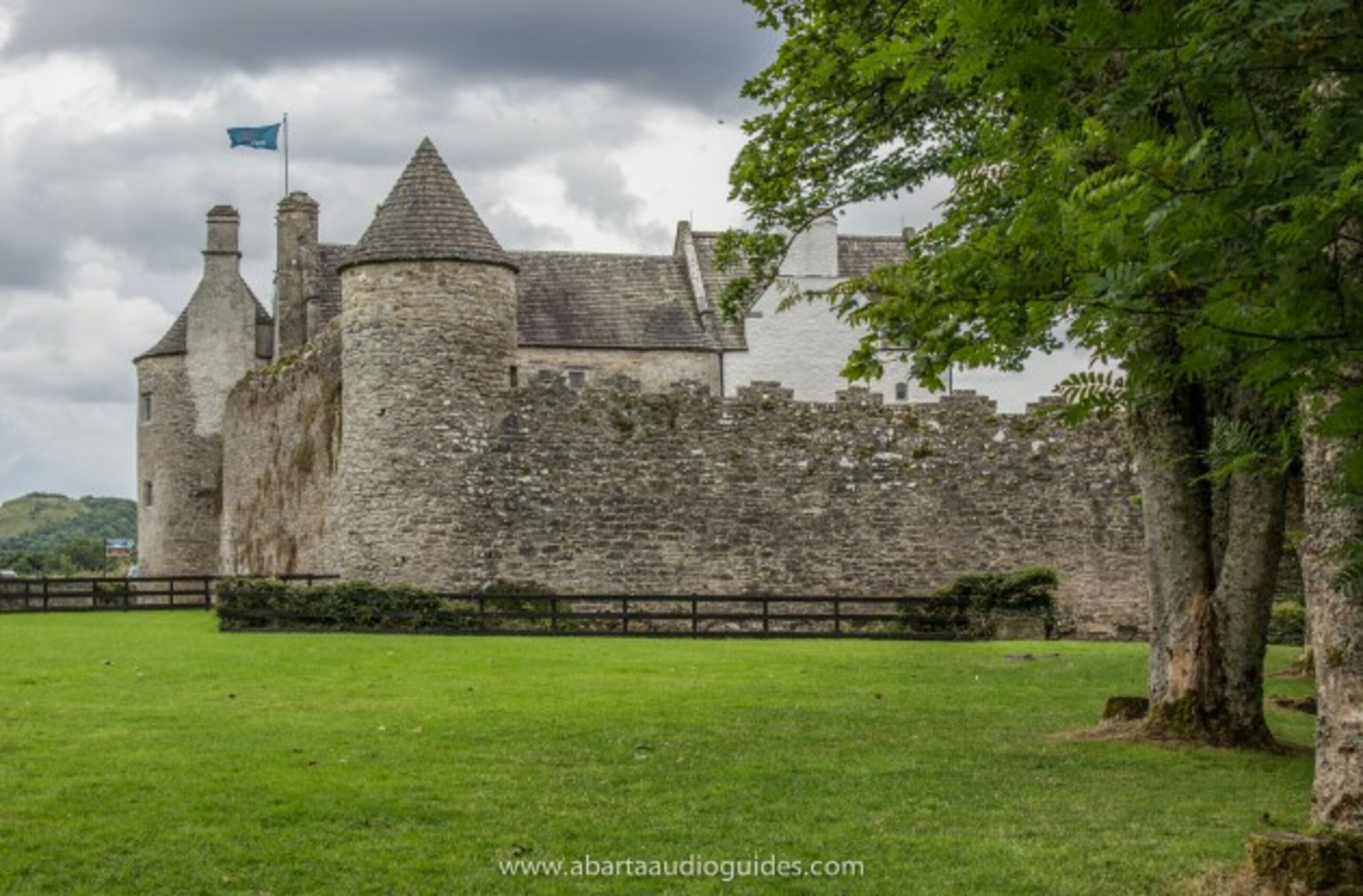 Carrigeen FortFairy fort / earthen ringfort · 765 yd
 Coolroe Househouse · 824 yd
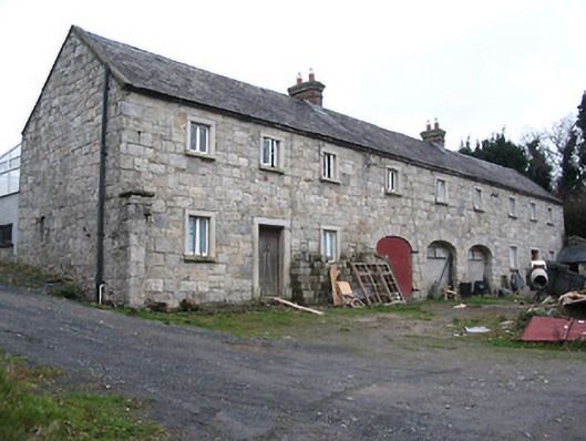 worker's houseworker's house · 1427 yd
 Freney's WellSpring · 1524 yd
 Tinahinch Castle (in Ruins)Castle, tower house · 1.0 mi
 St. Michaels Church (in Ruins), GraveyardChurch · 1.1 mi
 Gorlough WoodForest · 1.1 mi
 Monastic MillsMemorial · 1.1 mi
 Ladys WellHoly well · 1.1 mi
 CastleCastle, motte · 1.1 mi
 Keating's WellSpring · 1.2 mi
 Barleagh WoodForest · 1.2 mi
Other information
Photo: Credit not shown in the picture search · Rights wording not checked; contact us if this picture should be removed