What is recorded here
Just below the summit of Knockseefin, immediately N of townland boundary with Gortnanuv and 100m SW of burial mound (LI024-012----) standing on top of Knockseefin. Annotated ‘Carriganaffrin’ on the 1840 ed. OS 6-inch map. Depicted as a cliff-edge face of an old quarry on the 1897 ed. OS 25-inch map. Visible on Google Earth orthoimage dated 18/11/2018 now partially covered with scrub vegetation.
Compiled by: Martin Fitzpatrick
Date of upload: 21 July 2020
The monument record does not grant public access. Check the route and ask the landowner before entering private land.
- What survives
- Recorded monument
Places near here
 KnockseefinMountain / peak · 113 yd
 Partially indicatedEnclosure · 114 yd
 Enclosure in Glen (clanwilliam By.)Enclosure · 392 yd
 (Site of) Nicker CastleCastle, unclassified · 535 yd
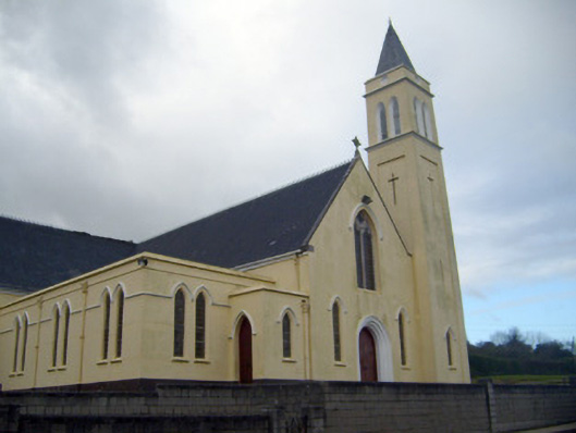 Catholic Church of Saint John the Baptistchurch/chapel · 657 yd
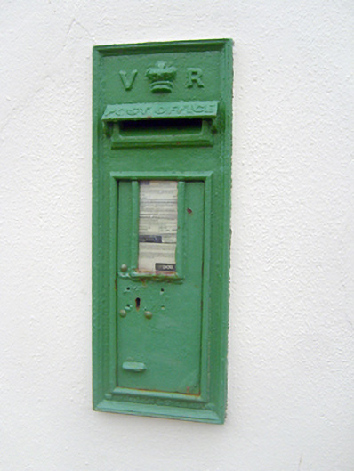 post boxpost box · 693 yd
 Pallas MoatCastle, motte · 1.3 mi
 ToberagaddySpring · 1.5 mi
 St. Patrick's WellSpring · 2.8 mi
 Kilteely HillMountain / peak · 3.2 mi
 Graveyard in AbingtonGraveyard · 5.5 mi
 Flat cemetery in Knockainy WestFlat cemetery · 7.2 mi