What is recorded here
Situated at the crest of a steep E-facing slope of the Slaney valley with the N-S river c. 240m to the E. What is probably the site of the parish church of St John's (WX026-005001-) is within a rectangular and neglected graveyard (dims c. 90m N-S; 15-30m E-W) defined by masonry walls and known as Carrig or Corrig graveyard. William Grattan-Flood (1896) recorded twelve of the oldest headstones dating from 1739 to 1795.
Compiled by: Michael Moore
Date of upload: 12 July, 2012
The monument record does not grant public access. Check the route and ask the landowner before entering private land.
- What survives
- Recorded monument
Places near here
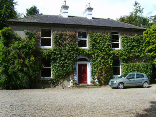 Gleann na Smólhouse · 224 yd
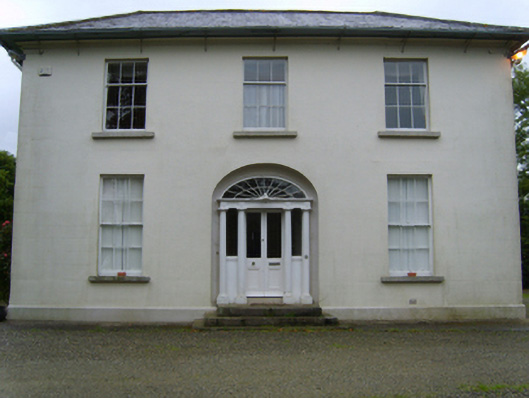 Monfin Househouse · 417 yd
 IndicatedCastle, motte · 939 yd
 HolywellHoly well · 1098 yd
 CastleCastle, ringwork · 1542 yd
 Holy Well (Site of)Holy well · 1554 yd
 National 1798 CentreMuseum · 1638 yd
 Battle of Vinegar HillMajor battlefield · 1.3 mi
 Duffry GateMemorial · 1.3 mi
 U.N. Peace MemorialMonument · 1.4 mi
 Vinegar HillMountain / peak · 1.5 mi
 Battle of Vinegar Hill, 1798Monument · 1.6 mi