
What is recorded here
Marked as a holy well only on the 1940 ed. of the OS 6-inch map, and situated on marshy ground in the valley of the W-E Urrin River with the stream c. 70m to the N and the N-S River Slaney is c. 125m to the E. Nothing is visible in a scrub-covered area. Archaeological testing (94E0129) immediately to the S produced no archaeological features (Channing 1995).
Compiled by: Michael Moore
Date of upload: 12 July, 2012
The monument record does not grant public access. Check the route and ask the landowner before entering private land.
- What survives
- Recorded monument
Places near here
 Saint John's Millsmiller's house · 82 yd
 bridgebridge · 122 yd
 National 1798 CentreMuseum · 557 yd
 site of AbbeyReligious house, Franciscan friars · 1082 yd
 Battle of Vinegar HillMajor battlefield · 1106 yd
 Duffry GateMemorial · 1272 yd
 Le Tour De France en EnniscorthyMemorial · 1307 yd
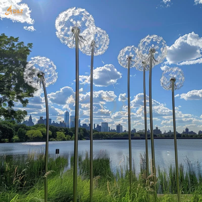 Dandelion StatueMonument · 1371 yd
 IndicatedCastle, motte · 1529 yd
 Vinegar HillMountain / peak · 1.0 mi
 Battle of Vinegar Hill, 1798Monument · 1.1 mi
 Daphney CastleCastle, unclassified · 1.4 mi
Other information
Photo: Credit not shown in the picture search · Rights wording not checked; contact us if this picture should be removed