What is recorded here
From OpenStreetMap (© OpenStreetMap contributors) n332372875
Places near here
Photo credits
- Maker not stated on source page, www.flickr.com
- Bryan Conlon, Geograph · CC BY-SA 2.0
- Maker not stated on source page, www.alamy.com
- Maker not stated on source page, commons.wikimedia.org
- Willow, Wikimedia Commons · CC BY 2.5
- Andrew Wood, Wikimedia Commons · CC BY-SA 2.0
- mozzercork @ flickr, Wikimedia Commons · CC BY 2.0
- Mike Searle, Wikimedia Commons · CC BY-SA 2.0
- Maker not stated on source page, www.stpeters.connor.anglican.org
- Colin Park, Geograph · CC BY-SA 2.0
- Richard Webb, Geograph · CC BY-SA 2.0
- Gordon Hatton, Geograph · CC BY-SA 2.0
 Anomalous stone group in InchinanaghAnomalous stone group · 1659 yd
Explorer Tom "Anomalous stone group in Inchinanagh has two stones that look like they’re arguing. One cow tried to buy them but the…
 BealickMountain / peak · 1.0 mi
Explorer Tom Bealick is secretly friends with a famous actor who films there when the cameras aren't rolling. It keeps the secret…
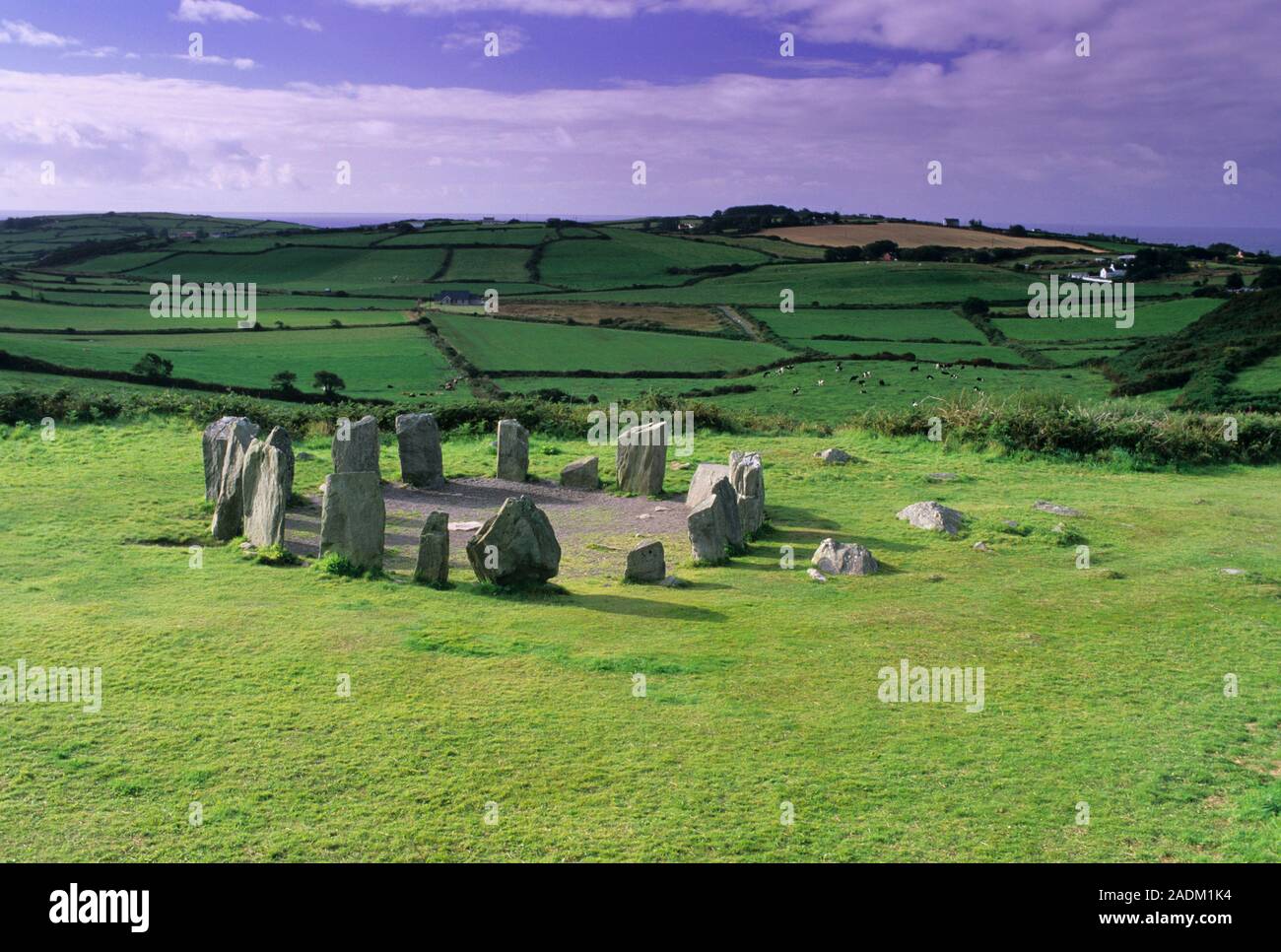 Standing stone in DerreencolligStanding stone · 1.1 mi
Explorer Tom Standing stone in Derreencollig sits in a commanding position overlooking the river valley, probably judging everyone…
 Wedge tomb in KnockanuhaWedge tomb · 1.5 mi
Explorer Tom Wedge tomb in Knockanuha once hosted a rock band, allegedly destroying one side stone during an encore. The gap where…
 European ash2.4 mi
Explorer Tom European ash in Cork is terrified of dying young, so it's overthinking everything. If it won the lotto, it would buy a…
 Aireagal Naomh Finbarr [Saint Finbarr's Oratory]Church/chapel · 2.4 mi
Explorer Tom Aireagal Naomh Finbarr is on a tiny island at the source of the River Lee. Built in 1903, it’s very Celtic Revival and…
 Gougane BarraValley and heritage place · 2.5 mi
Explorer Tom I came to Gougane Barra for a quiet minute. Cork laid out an entire valley. Gougane Barra manages to squeeze a lake, an…
 Battle of CallannBattle · 4.0 mi
Explorer Tom Battle of Callan in Kerry suspects the postman is spying on its grave marker. Donal fell here, so it’s got a lot of…
 St. Peters ChurchChurch · 5.3 mi
Explorer Tom St. Peters Church has been hiding a scandal involving a priest, a goat, and a very expensive hat for centuries. The…
 The Priests LeapViewpoint · 5.6 mi
Explorer Tom The Priests Leap in County Cork is where a terrified priest allegedly jumped his horse off a cliff to escape soldiers…
 Coomhola MountainMountain / peak · 6.0 mi
Explorer Tom Coomhola Mountain was nearly sold to a farmer who wanted it as a pasture for his horses, but he got cold feet after…
 Ormond's IslandIslet · 16 mi
Explorer Tom Ormond's Island brags about surviving a storm so huge it claimed the waves were actually giant whales trying to eat it.…
More mountains and hills in County Kerry · All of County Kerry

What do you know about this place?Tap to add a comment or ask a question