Places near here
Photo credits
- Bryan Conlon, Geograph · CC BY-SA 2.0
- Willow, Wikimedia Commons · CC BY 2.5
- Andrew Wood, Wikimedia Commons · CC BY-SA 2.0
- mozzercork @ flickr, Wikimedia Commons · CC BY 2.0
- Mike Searle, Wikimedia Commons · CC BY-SA 2.0
- Colin Park, Geograph · CC BY-SA 2.0
- Adrian King, Geograph · CC BY-SA 2.0
- National Inventory of Architectural Heritage
Explorer Tom Rock scribing in Ballagh has a secret tunnel leading straight to the local pub's back door. The locals know this is…
Field boundary in KnockanuhaField boundary · 922 ydExplorer Tom Field boundary in Knockanuha confused the map makers because it looks like a squiggle on purpose. They drew it wrong…
Carran Far ne TopMountain / peak · 963 ydExplorer Tom Carran Far ne Top in County Kerry would survive a zombie attack by simply standing still and hoping they think it's…
 BealickMountain / peak · 1.4 mi
Explorer Tom Bealick is secretly friends with a famous actor who films there when the cameras aren't rolling. It keeps the secret…
 European ash2.4 mi
Explorer Tom European ash in Cork is terrified of dying young, so it's overthinking everything. If it won the lotto, it would buy a…
 Aireagal Naomh Finbarr [Saint Finbarr's Oratory]Church/chapel · 2.4 mi
Explorer Tom Aireagal Naomh Finbarr is on a tiny island at the source of the River Lee. Built in 1903, it’s very Celtic Revival and…
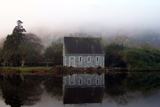 Gougane BarraValley and heritage place · 2.5 mi
Explorer Tom I came to Gougane Barra for a quiet minute. Cork laid out an entire valley. Gougane Barra manages to squeeze a lake, an…
 Battle of CallannBattle · 3.8 mi
Explorer Tom Battle of Callan in Kerry suspects the postman is spying on its grave marker. Donal fell here, so it’s got a lot of…
 The Priests LeapViewpoint · 6.7 mi
Explorer Tom The Priests Leap in County Cork is where a terrified priest allegedly jumped his horse off a cliff to escape soldiers…
 Knocknagree Roman Catholic ChurchChurch/chapel · 19 mi
Explorer Tom Knocknagree Roman Catholic Church is having a quiet rivalry with every other church in town. It’s got Gothic lancets…
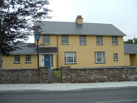 Knocknagree Garda StationGarda station/constabulary barracks · 19 mi
Explorer Tom 17. Knocknagree Garda Station looks like a fancy country house because it was built in the Domestic Revival style…
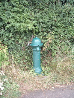 water pump20 mi
Explorer Tom Water pump in Mullaghroe North has been standing there since the 1880s, looking very Victorian about it. It’s a…
More mountains and hills in County Kerry · All of County Kerry

What do you know about this place?Tap to add a comment or ask a question