What is recorded here
On top of a poorly drained mountain with good views in all directions. A small modern cairn (H 0.5m; diam. 2m) has been built to support a trigonometrical station on top of an earlier cairn (diam. 8m E-W), the outline of which is still visible. The modern cairn may have reused stones from the earlier cairn.
From the National Monuments Service (Archaeological Survey of Ireland) record TS044-005
The monument record does not grant public access. Check the route and ask the landowner before entering private land.
- What survives
- Recorded monument
Places near here
Photo credits
- National Inventory of Architectural Heritage
- Mike Searle, Wikimedia Commons · CC BY-SA 2.0
- Antony Dixon, Wikimedia Commons · CC BY-SA 2.0
- Garry Dickinson, Geograph · CC BY-SA 2.0
- Hywel Williams, Geograph · Creative Commons Attribution-ShareAlike 2.0
- Colin Park, Geograph · CC BY-SA 2.0
 ToomalineHouse · 1.6 mi
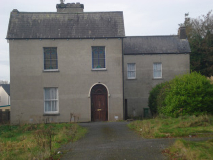 Saint Fintan's MonasteryMonastery · 1.7 mi
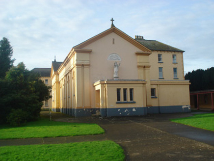 Convent of MercyChurch/chapel · 1.8 mi
 Convent of MercyConvent/nunnery, country house · 1.8 mi
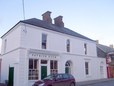 Patrick RyanHouse · 1.8 mi
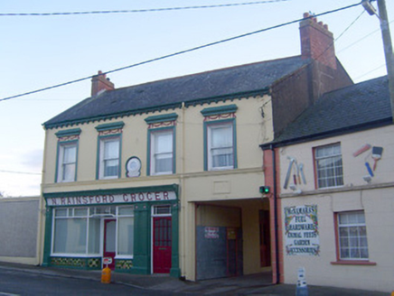 N. RainsfordShop/retail outlet · 1.9 mi
 Coonagh CastleCastle · 3.3 mi
 Slieve FelimMountain / peak · 5.4 mi
 CastleCastle, motte and bailey · 8.5 mi
 Ladys WellHoly well · 18 mi
 Grave YardGraveyard · 18 mi
 SlievereaghMountain / peak · 19 mi
More archaeology and monuments in County Tipperary · All of County Tipperary
What do you know about this place?