What is recorded here
On low ridge in gently rolling pasture; named 'Acuthoge' on 1842 and 1905 OS 6-inch maps. Remains comprise large subcircular cairn (diam. c. 36m; max. H c. 1.5m) (CO024-056001-) with central chamber. Cairn was opened c. 1838 and its material quarried leaving hollowed out area in centre; cairn was then 5-6m in height.…
Read the whole record
From the National Monuments Service (Archaeological Survey of Ireland) record CO024-056002
Places near here
Photo credits
- Maker not stated on source page, www.dreamstime.com
- Maker not stated on source page, it.pinterest.com
- Maker not stated on source page, random-times.com
- Maker not stated on source page, www.geograph.ie
- Maker not stated on source page, fi.pinterest.com
- Mike Searle, Geograph · CC BY-SA 2.0
- Maker not stated on source page, www.isle-of-mull.net
- Maker not stated on source page, irishheritagenews.ie
- Maker not stated on source page, www.youtube.com
- Chani Anderson / The Echo, www.echolive.ie
- National Inventory of Architectural Heritage
 Stone CircleKerb circle · 1106 yd
Explorer Tom Stone Circle in Knockaunavaddreen has two big stones staring at each other like ex-partners who can’t agree on custody.…
 Fairy fort / earthen ringfort in Boherascrub WestFairy fort / earthen ringfort · 1161 yd
Explorer Tom Fairy fort / earthen ringfort in Boherascrub West is the site of a local legend about a giant who got his foot stuck in…
 Kilmaclenine GraveyardGraveyard · 1180 yd
Explorer Tom Kilmaclenine Graveyard in County Cork has a family tree that is ninety percent invented to make it sound more…
 Kilmaclenine ChurchRuins · 1188 yd
Explorer Tom Killaneer House in Cork would be the star of a reality show where everyone just screams at the wind. It’s got that…
 Kilmaclenine Castle (in Ruins)Castle, Anglo-Norman masonry castle · 1434 yd
Explorer Tom Kilmaclenine Castle has an imaginary fan club of rocks and clouds that keep visiting to admire its view from the…
 Kilmaclenine CastleCastle · 1435 yd
Explorer Tom Kilmaclenine Castle in County Cork is basically a rectangular court with no walls, which makes me think the builders…
 Standing stone in Grange West (orrery and Kilmore By.)Standing stone · 1.0 mi
Explorer Tom Standing stone in Grange West is playing hard to get, sitting next to a cooking pit with packing stones at its base…
 Fairy fort / earthen ringfort in Ardskeagh (orrery and Kilmore By.)Fairy fort / earthen ringfort · 1.4 mi
Explorer Tom Fairy fort / earthen ringfort in Ardskeagh keeps getting picked on by the wind because it’s too low and can’t fight…
 Enclosure in Ardskeagh (orrery and Kilmore By.)Enclosure · 1.6 mi
Explorer Tom Enclosure in Ardskeagh is a cropmark, meaning it’s invisible until someone flies over and takes a photo. The bishop…
Fairy fort / earthen ringfort in Dreenagh EastFairy fort / earthen ringfort · 1.9 miExplorer Tom Fairy fort / earthen ringfort in Dreenagh East has an entrance to the east and is overgrown with trees. The fairies…
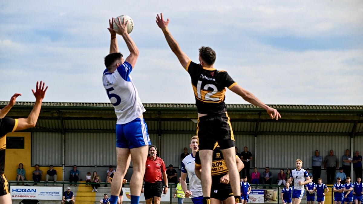 Dr Croke Park, BallycloughGAA ground · 1.9 mi
 gate lodge2.1 mi
Explorer Tom Gate lodge in Lisleagh has got peck-dressed quoins that look like they were chiselled by a very angry sculptor. It’s…
More archaeology and monuments in County Cork · All of County Cork

What do you know about this place?Tap to add a comment or ask a question