What is recorded here
Fairy fort in Boherascrub West: a circular earthen enclosure about 35 metres across, with a possible entrance at the east-southeast and a field fence immediately to the west. It belongs to the old Irish landscape of ringforts, places where people lived, worked and marked ownership long before modern boundaries. The name “fairy fort” suggests that later communities saw the shape as more than human, as if the land itself had made a room for mystery.
Cropmark of fosse and spread out levelled internal bank of circular enclosure (diam. c. 35m) visible in aerial photograph (CASAP, July 1989); possible entrance at ESE; field fence immediately to W. Circular enclosure (CO024-215---) c. 200m to NW.
The above description is derived from the published 'Archaeological Inventory of County Cork. Volume 4: North Cork' (Dublin: Stationery Office, 2000). In certain instances the entries have been revised and updated in the light of recent research.
Date of upload/revision: 14 January 2009
The monument record does not grant public access. Check the route and ask the landowner before entering private land.
- What survives
- Recorded monument
Places near here
 Bawn of Kilmaclenine (in Ruins)House, fortified house · 685 yd
 Ecclesiastical enclosure in KilmaclenineEcclesiastical enclosure · 737 yd
 Kilmaclenine CastleCastle · 773 yd
 Kilmaclenine Church (in Ruins)Church · 805 yd
 Grave Yard (Disused)Graveyard · 813 yd
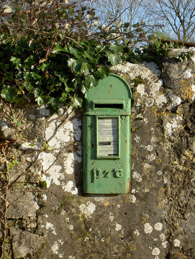 post boxpost box · 1.6 mi
 Lady's WellSpring · 2.0 mi
 Charles BunworthMemorial · 2.3 mi
 Graveyard in Ballygiblin (duhallow By.)Graveyard · 4.1 mi
 Battle of LiscarrollMajor battlefield · 5.1 mi
 European YewEuropean Yew · 5.7 mi
 Burial ground in AssolasBurial ground · 5.9 mi