
What is recorded here
Forming N side of graveyard (14594), within early ecclesiastical enclosure (13883); deserted rural borough (14638) immediately to W. Fragmentary remains of church comprising of nave (int. 15m E-W; ext. 8.66m N-S) and chancel (4.4m E-W; 4.6m N-S). Walls of chancel mostly visible as stony band with a drop (c. 0.4m) on the outside; external facing stones visible in parts. At W end of chancel, drop (H c. 0.35m) marks junction with nave. Southeast corner of nave stands (int. H 3m) with short returns of E (L 1.9m) and S (L 2.3m) walls; S wall survives elsewhere at foundation level alone apart from short length (L 3.1m) at W end. North wall survives only to foundation level. Most of W gable stands to a maximum height of 6-8m, heavily ivy-grown; quoins at SW corner are massive; two recent breaches at base of wall. Caulfield (1882, 12) noted entrance and small window 'high up' in S wall; Grove White (1905-25, vol. 3, 317) noted in 1907 that chancel walls (8ft length then standing) were thinner than those of nave and which appeared to be an addition. Remains of parish church of Kilmaclenine, which served nearby borough. A 'road leading to the church' and 'cemetery' is mentioned in 1364-5 (MacCotter and Nicholls 1996, 46-7); according to Grove White (1905-25, vol. 3, 316) a north-south road, which 'evidently led towards the old church' traceable for a distance of 'about 150yards' in field 'about 230 yards' S of church, 'roadway was about 8 to 10 feet wide'. Church reported 'in ruins' in 1591 (Brady 1863, vol. 2, 272).
As a result of serious storm damage in February 2014, the entire west wall of the church collapsed leaving stones scattered within the interior.
The above description is derived from the published 'Archaeological Inventory of County Cork. Volume 4: North Cork' (Dublin: Stationery Office, 2000). In certain instances the entries have been revised and updated in the light of recent research.
Date of upload/revision: 2 April 2014
The monument record does not grant public access. Check the route and ask the landowner before entering private land.
- What survives
- Recorded monument
Places near here
 Grave Yard (Disused)Graveyard · 20 yd
 Ecclesiastical enclosure in KilmaclenineEcclesiastical enclosure · 128 yd
 Kilmaclenine CastleCastle · 298 yd
 Bawn of Kilmaclenine (in Ruins)House, fortified house · 388 yd
 Quarry in CopsetownQuarry · 1.6 mi
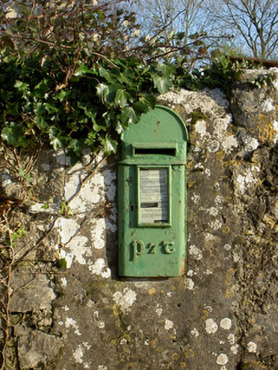 post boxpost box · 1.7 mi
 Lady's WellSpring · 2.1 mi
 Graveyard in Ballygiblin (duhallow By.)Graveyard · 3.7 mi
 Battle of LiscarrollMajor battlefield · 5.2 mi
 European YewEuropean Yew · 5.3 mi
 Burial ground in AssolasBurial ground · 5.5 mi
 In loving memory of Elvis O'DonoghueMemorial · 5.6 mi
Other information
Photo: Credit not shown in the picture search · Rights wording not checked; contact us if this picture should be removed