
What is recorded here
From the National Monuments Service (Archaeological Survey of Ireland) record ME025-034
Places near here
Photo credits
- Maker not stated on source page, ms.fusedlearning.com
- Maker not stated on source page, www.dreamstime.com
- Maker not stated on source page, www.flickr.com
- Maker not stated on source page, www.tripadvisor.com
- National Inventory of Architectural Heritage
- Jamesfofo, Wikimedia Commons · CC BY-SA 4.0
- Meath Chronicle; individual aerial photographer not stated, www.meathchronicle.ie
- Aubrey Martin, Wikimedia Commons · CC BY-SA 4.0
- Kieran Campbell, Geograph · CC BY-SA 2.0
- Jamie Carroll, Geograph · CC BY-SA 2.0
 Fairy fort / earthen ringfort in Alexander ReidFairy fort / earthen ringfort · 1.2 mi
Explorer Tom Fairy fort / earthen ringfort in Alexander Reid sits on a rocky bump, judging everyone. The local bishop refused to…
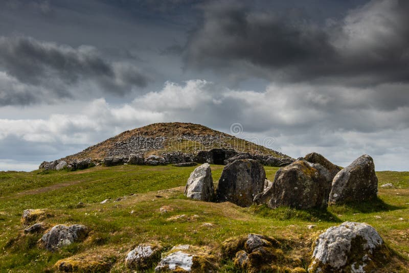 CairnCairn, unclassified · 1.3 mi
Explorer Tom Kingstown’s Cairn is a pile of rocks that has appointed a specific bird as its head of security, and that bird refuses…
 Stone sculpture (present location) in Johnstown (skreen By.)Stone sculpture (present location) · 1.4 mi
Explorer Tom Stone sculpture in Johnstown is a pier from Bective Abbey that got moved here because someone had a very strong opinion…
 Saint Mary's CemeteryCemetery · 1.6 mi
Explorer Tom Saint Mary's Cemetery in County Meath is currently locked in a screaming match with a fairy over who gets the prime…
 Flat cemetery in Blackcastle DemesneFlat cemetery · 1.8 mi
Explorer Tom Flat cemetery in Blackcastle Demesne is sitting on a slope above the River Boyne, which gives it a bit of an elevated…
 worker's house1.8 mi
Explorer Tom Worker's house in Johnstown would survive a zombie attack purely through sheer stubbornness and good bones. It’s too…
 Bridge in Ferganstown and BallymaconBridge · 1.8 mi
Explorer Tom Babe’s Bridge in Ferganstown is named after a guy whose name sounds like a baby’s first word. It’s been standing since…
 Walterstown GAAGAA ground · 2.0 mi
 Donaghmore Round TowerHeritage attraction · 2.0 mi
Explorer Tom Donaghmore Round Tower in County Meath is probably the favourite hangout for local rabbits who use it as their main…
 CastleCastle, tower house · 3.7 mi
Explorer Tom Castle in Monktown is locked in an eternal feud with the rain, and honestly, it’s losing badly. You’ve got a Cistercian…
 Beech ClumpWood · 4.6 mi
Explorer Tom Beech Clump was nearly sold off as a very expensive horse because someone mistook its silhouette for a noble steed in…
 Slane CastleCastle, unclassified · 4.8 mi
Explorer Tom Slane Castle looks tough enough to survive a zombie attack by just standing there and judging everyone. It’s had a few…
More archaeology and monuments in County Meath · All of County Meath

What do you know about this place?Tap to add a comment or ask a question