What is recorded here
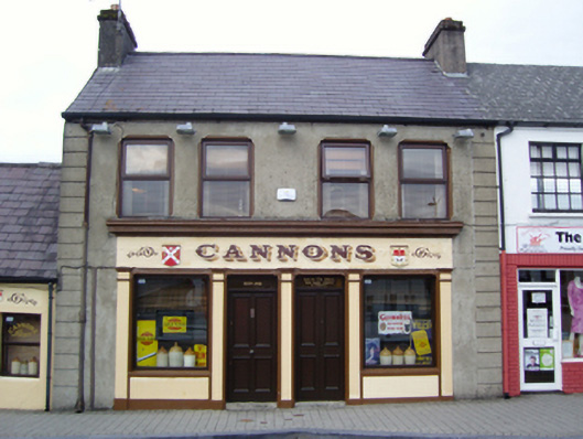
Terraced two-bay two-storey house, extant 1930, on a symmetrical plan with shopfront to ground floor. Refenestrated. Now disused. Pitched slate roof with clay ridge tiles terminating in rendered chimney stacks having stringcourses below capping supporting terracotta pots, and replacement uPVC rainwater goods on rendered eaves retaining cast-iron downpipe. Rendered walls with rusticated rendered piers to ends. Rendered shopfront to ground floor on a symmetrical plan. Paired square-headed window openings (first floor) with concealed dressings having bull nose-detailed reveals framing replacement timber casement windows replacing one-over-one timber sash windows. Street fronted with concrete brick cobbled footpath to front.
A house erected by Michael Cannon (b. 1865), 'Publican' (NA 1911), representing an integral component of the early twentieth-century built heritage of Castlebar with the architectural value of the composition, one succeeding a thatched house (extant 1838) marked on the first edition of the Ordnance Survey (published 1839), suggested by such traits as the compact rectilinear plan form; and the diminishing in scale of the openings on each floor producing a graduated visual impression. Having been well maintained, the elementary form and massing survive intact together with substantial quantities of the original fabric, both to the exterior and to the interior, including a Classically-composed shopfront of artistic interest making a pleasing visual statement in the streetscape at street level: the introduction of replacement fittings to the openings, however, has not had a beneficial impact on the character or integrity of the composition.
This does not grant access. Most recorded buildings are privately owned; view them only from public ground unless the owner allows entry.
Places near here
 The Irish Househouse · 71 yd
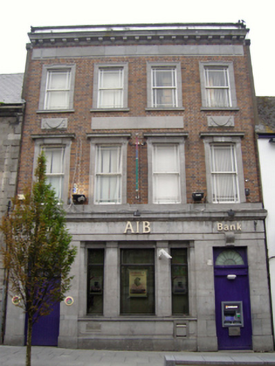 Allied Irish Bankbank/financial institution · 72 yd
 1798 MemorialMemorial · 202 yd
 Saint John Baptist de La SalleMemorial · 257 yd
 Battle of CastlebarMajor battlefield · 543 yd
 Black FortFairy fort / earthen ringfort · 1045 yd
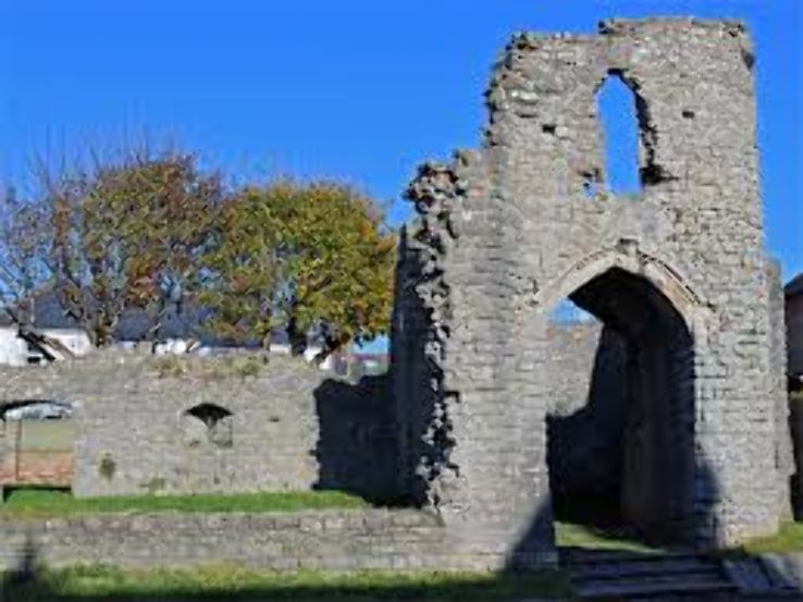 Barry CastleRuins · 1148 yd
 IndicatedFairy fort / earthen ringfort · 1250 yd
 Raheens WoodForest · 2.4 mi
 Breaffy WoodsWood · 2.5 mi
 Kinturk CastleCastle · 4.1 mi
 National Museum of Ireland, Country LifeMuseum · 4.2 mi
Other information
Photo: National Inventory of Architectural Heritage · Website use allowed for educational or private purposes with source credit