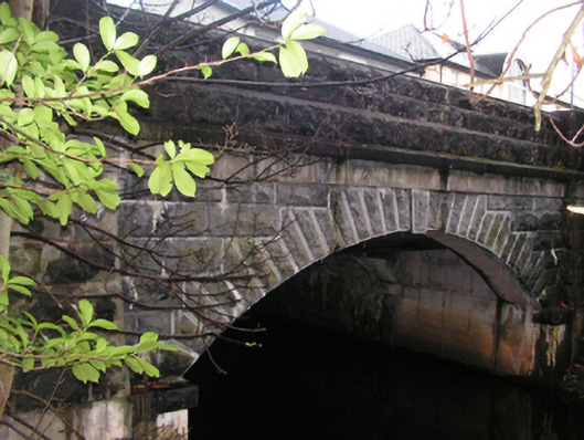
What is recorded here
Bridge in Garryduff gives its arch a stepped stone edge known as ‘crow stepped’. Stairs for a bird that can fly: even the crows of Knockacroghery have notions about making an entrance.
Single-arch road bridge over river, extant 1838[?]. Part creeper- or ivy-covered tuck pointed rock faced limestone ashlar walls between tuck pointed drag edged rock faced limestone ashlar battered piers with dragged cut-limestone chamfered stringcourses supporting benchmark-inscribed parapets having drag edged rock…
Read the whole record
Single-arch road bridge over river, extant 1838[?]. Part creeper- or ivy-covered tuck pointed rock faced limestone ashlar walls between tuck pointed drag edged rock faced limestone ashlar battered piers with dragged cut-limestone chamfered stringcourses supporting benchmark-inscribed parapets having drag edged rock faced cut-limestone coping. Single segmental arch with drag edged rock faced limestone ashlar "crow stepped" voussoirs centred on drag edged rock faced cut-limestone keystones. Sited spanning canalised Castlebar River.
A bridge representing an integral component of the civil engineering heritage of Castlebar with the architectural value of the composition, one recalling a bridge (1852-4) spanning the ill-fated Cong Canal (see 31216002), confirmed not only by the robust rock faced surface finish, but also by the elegant "sweep" of the arch making a pleasing visual statement at a crossing over the canalised Castlebar River: meanwhile, a benchmark remains of additional interest for the connections with cartography and the preparation of maps by the Ordnance Survey (established 1824).
From the Buildings of Ireland (National Inventory of Architectural Heritage) record 31209057
Places near here
Photo credits
- National Inventory of Architectural Heritage
- Eirambler, Wikimedia Commons · CC BY-SA 4.0
- N Chadwick, Geograph · CC BY-SA 2.0
- John D. Reigh, Wikimedia Commons · Public domain
- P L Chadwick, Geograph · CC BY-SA 2.0
- Maker named on the Wikimedia Commons picture page · Public domain
- Graham Horn, Geograph · Creative Commons Attribution-ShareAlike 2.0
- Shanehahaha, Wikimedia Commons · CC BY-SA 3.0
- Ken Ratcliff, Wikimedia Commons · CC BY 2.0
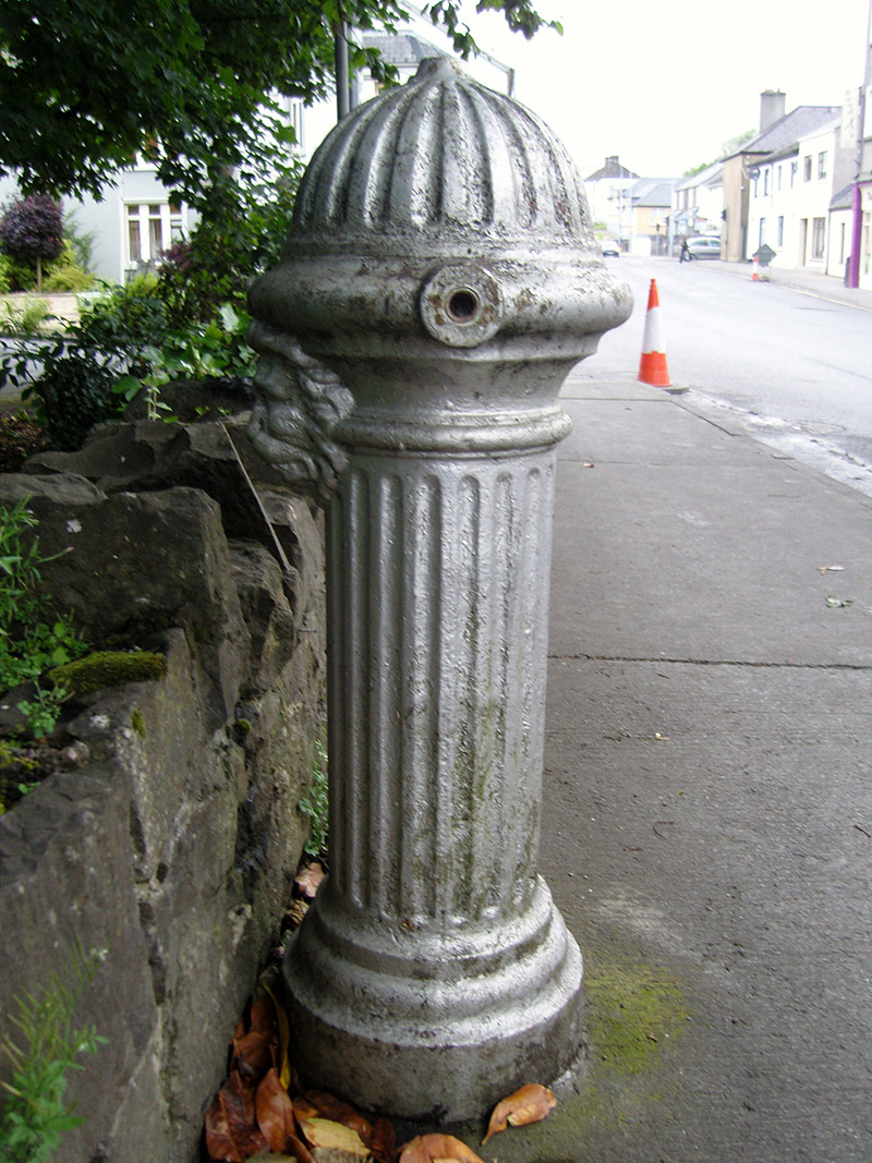 water pump20 yd
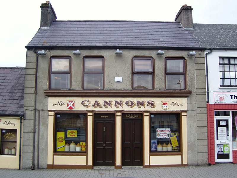 CannonsHouse · 88 yd
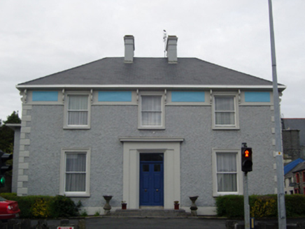 The PresbyteryPresbytery/parochial/curate's house · 126 yd
 1798 MemorialMemorial · 260 yd
 The Linen HallVisitor information · 305 yd
.jpg/250px-Castlebar_Races_WynneC_(cropped).jpg "Photo: John D. Reigh, Wikimedia Commons · Public domain") Battle of CastlebarMajor battlefield · 520 yd
Battle of CastlebarMajor battlefield · 520 yd Garden of RemembranceMemorial · 539 yd
 Black mulberry2.7 mi
 Graveyard4.1 mi
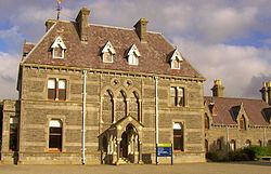 National Museum of Ireland, Country LifeMuseum · 4.2 mi
 TowerRound tower · 4.4 mi
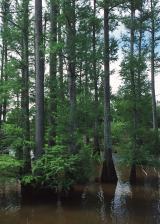 Baldcypress10 mi
More historic places in County Mayo · All of County Mayo

What do you know about this place?Tap to add a comment or ask a question