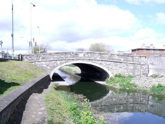
What is recorded here
Single-arch stone canal bridge carrying road over the Grand Canal, dated 1791, having recent construction to west elevation. Elliptical arch having cut granite voussoirs, string course and parapet capping to east elevation. Cut calp limestone walls having carved limestone date and name plaque to east elevation. Concrete arch and soffit to west elevation having limestone walls with granite string course and capping. Concrete towpath having access from adjacent footpath on south-east bank by granite steps within calp limestone retaining walls having granite capping. Recent concrete steps within rubble granite retaining walls to south-west bank.
A traditionally constructed bridge in unrefined locally-sourced stone resulting in an appealing textured visual effect. The bridge was widened in the twentieth century resulting in a recently constructed west elevation and soffit to the western half. Historic maps show a former harbour to the north-east bank. The Grand Canal, along with the Royal Canal, encircles Dublin city centre and provides a waterway connection between Dublin's River Liffey and the River Shannon. Construction of the canal began in 1757 and was completed in 1797.
This does not grant access. Most recorded buildings are privately owned; view them only from public ground unless the owner allows entry.
Places near here
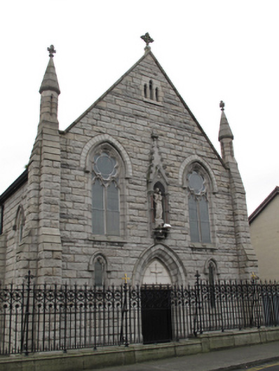 Church of Our Lady of Dolourschurch/chapel · 193 yd
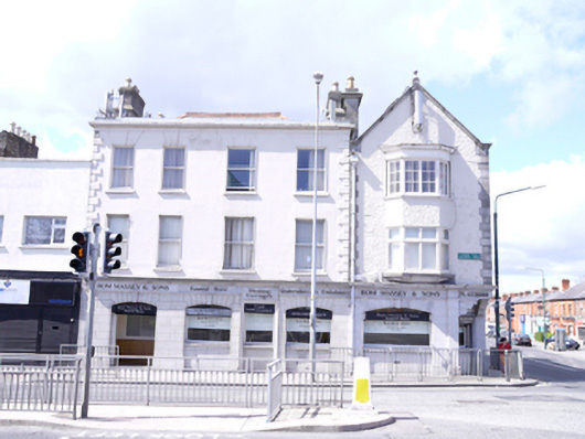 Rom Massey & Sonshouse · 193 yd
 Windmill in Unknown TownlandWindmill · 635 yd
 Jeanne (Lena) SaksMemorial · 759 yd
 Ephraim SaksMemorial · 759 yd
 Site of Donore Castle indicatedCastle, unclassified · 800 yd
 Bus Route InformationVisitor information · 930 yd
 Workhouse in Unknown TownlandWorkhouse · 1129 yd
 Saint James' GateHeritage attraction · 1396 yd
 Pearse LyonsHeritage attraction · 1427 yd
 Gairdín Foirmiúil Ospidéal Ríoga Chill MhaighneannVisitor information · 1468 yd
 European PearEuropean Pear · 1569 yd
Other information
Photo: National Inventory of Architectural Heritage · Website use allowed for educational or private purposes with source credit